Transport Functions
Rail
Road
Hub Profile
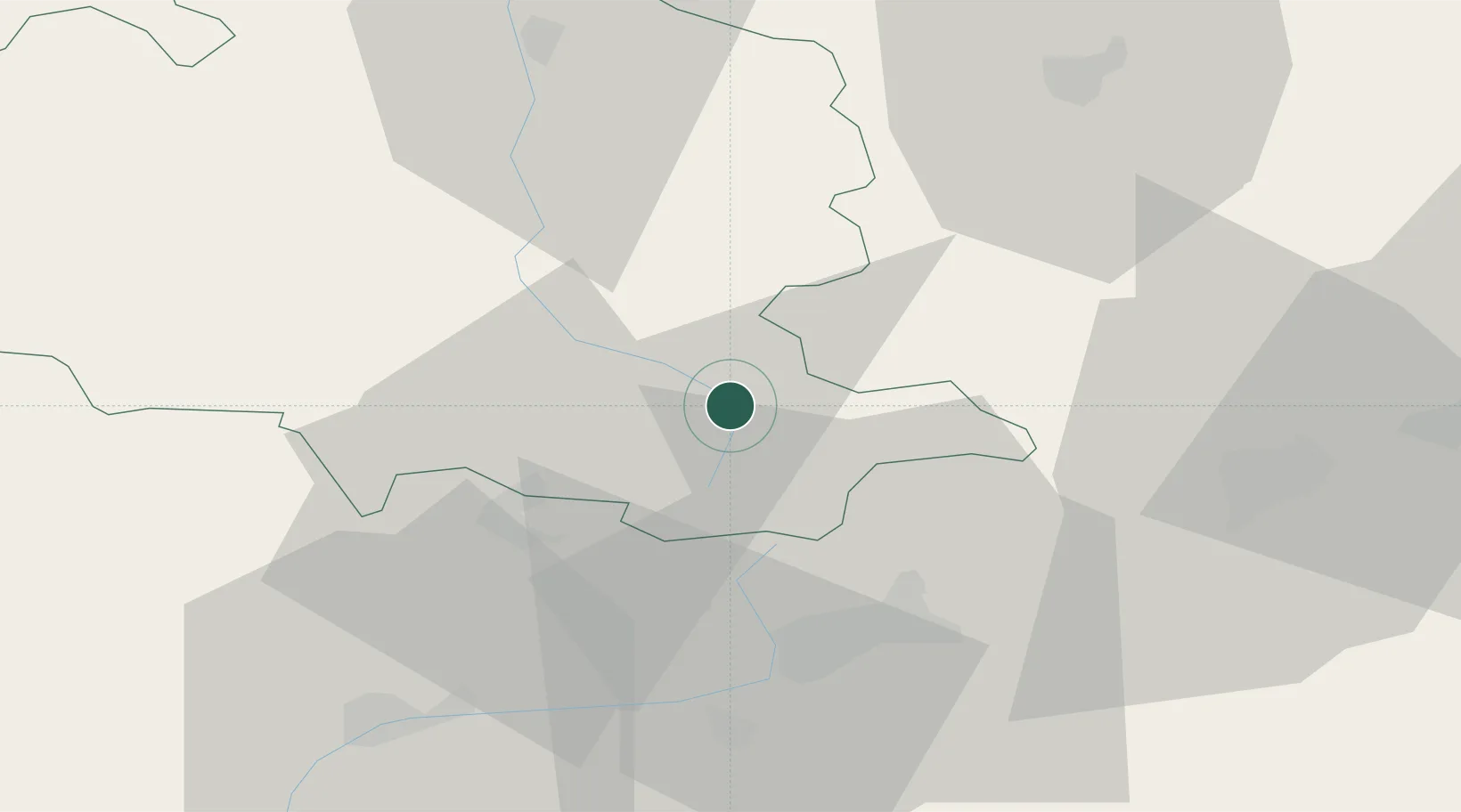
Place type
Populated place
Region
Occitanie
Population
1,510
Time zone
Europe/Paris
Elevation
727 m
Location
Nearby Logistics Neighbours
Cities
- 1L'Hospitalet-près-l'Andorre13 km
- 2Villeneuve-d'Olmes20 km
- 3Lavelanet24 km
- 4Saint-Paul-de-Jarrat27 km
- 5Latour-de-Carol28 km
Ports
- 1Port-La-Nouvelle106 km
- 2Port-Vendres107 km
- 3Rosas122 km
- 4San Feliu De Guixols143 km
- 5Palamos144 km
Airports
Trade Zones
- 1ZFU Perpignan87 km
- 2ZFU Toulouse104 km
- 3ZFU Béziers132 km
- 4Zona Franca de Barcelona155 km
- 5Depósito Franco de Tarragona185 km
DatabookThe Record of Consolidated Knowledge
France beyond logistics?