Transport Functions
Road
Multimodal
Hub Profile
Region
GI
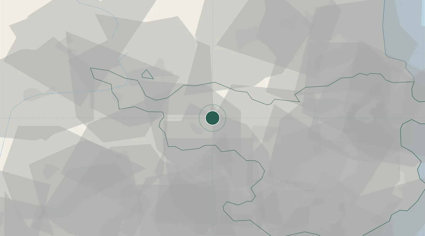
Location
Nearby Logistics Neighbours
Cities
- 1Ripoll10 km
- 2San Quirico de Besora19 km
- 3Montesquiu19 km
- 4Les Preses21 km
- 5San Vicent de Torello22 km
Ports
- 1Port-Vendres75 km
- 2Rosas75 km
- 3San Feliu De Guixols83 km
- 4Palamos85 km
- 5Barcelona102 km
Airports
Trade Zones
- 1ZFU Perpignan70 km
- 2Zona Franca de Barcelona104 km
- 3ZFU Béziers142 km
- 4Depósito Franco de Tarragona153 km
- 5ZFU Toulouse163 km
DatabookThe Record of Consolidated Knowledge
Spain beyond logistics?