Transport Functions
Road
Multimodal
Hub Profile
Place type
District seat
Region
Andalusia
Population
5,843
Time zone
Europe/Madrid
Elevation
868 m
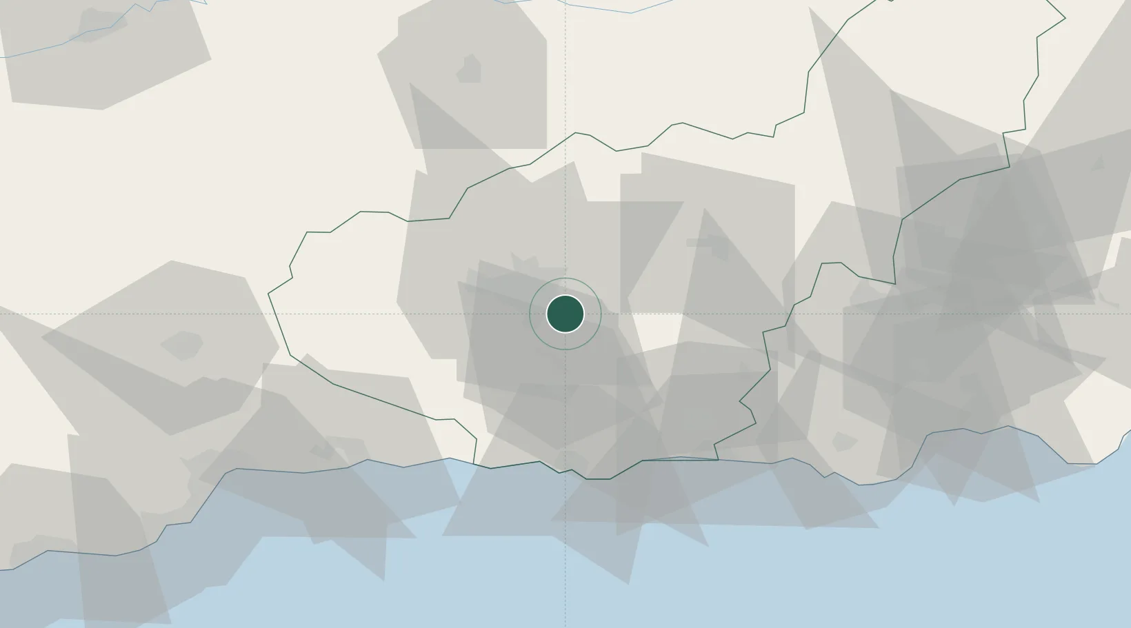
Location
Nearby Logistics Neighbours
Cities
- 1Ogijares6 km
- 2Armilla8 km
- 3Alhendin11 km
- 4Maracena12 km
- 5Las Gabias13 km
Ports
- 1Motril43 km
- 2Adra63 km
- 3Malaga91 km
- 4Almeria100 km
- 5Puerto De Carboneras147 km
Airports
- 1Armilla Air Base9 km
- 2F.G.L. Airport Granada-Jaén Airport23 km
- 3Málaga-Costa del Sol Airport100 km
- 4Almería Airport108 km
- 5Córdoba Airport140 km
Trade Zones
- 1Depósito Franco de Málaga89 km
- 2Depósito Franco de Algeciras203 km
- 3Autonomous City of Ceuta211 km
- 4Melilla Autonomous Community212 km
- 5Nador WestMed Free Zone213 km
DatabookThe Record of Consolidated Knowledge
Spain beyond logistics?