Transport Functions
Multimodal
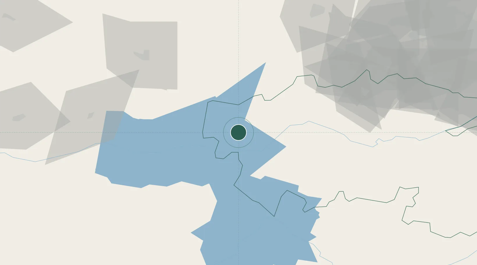
Hub Profile
Place type
District seat
Region
Castille-La Mancha
Population
2,831
Time zone
Europe/Madrid
Elevation
417 m
Location
Nearby Logistics Neighbours
Cities
- 1Lagartera3 km
- 2Calera y Chozas16 km
- 3Alcaudete de la Jaya30 km
- 4Arenas de San Pedro32 km
- 5Pepino33 km
Ports
- 1Sevilla293 km
- 2Aveiro307 km
- 3Figueira Da Foz315 km
- 4Oporto326 km
- 5Porto De Leixoes330 km
Airports
- 1Salamanca Airport119 km
- 2Madrid-Cuatro Vientos Airport128 km
- 3Getafe Air Base130 km
- 4Adolfo Suárez Madrid–Barajas Airport150 km
- 5Ciudad Real International Airport156 km
Trade Zones
DatabookThe Record of Consolidated Knowledge
Spain beyond logistics?