Transport Functions
Rail
Road
Hub Profile
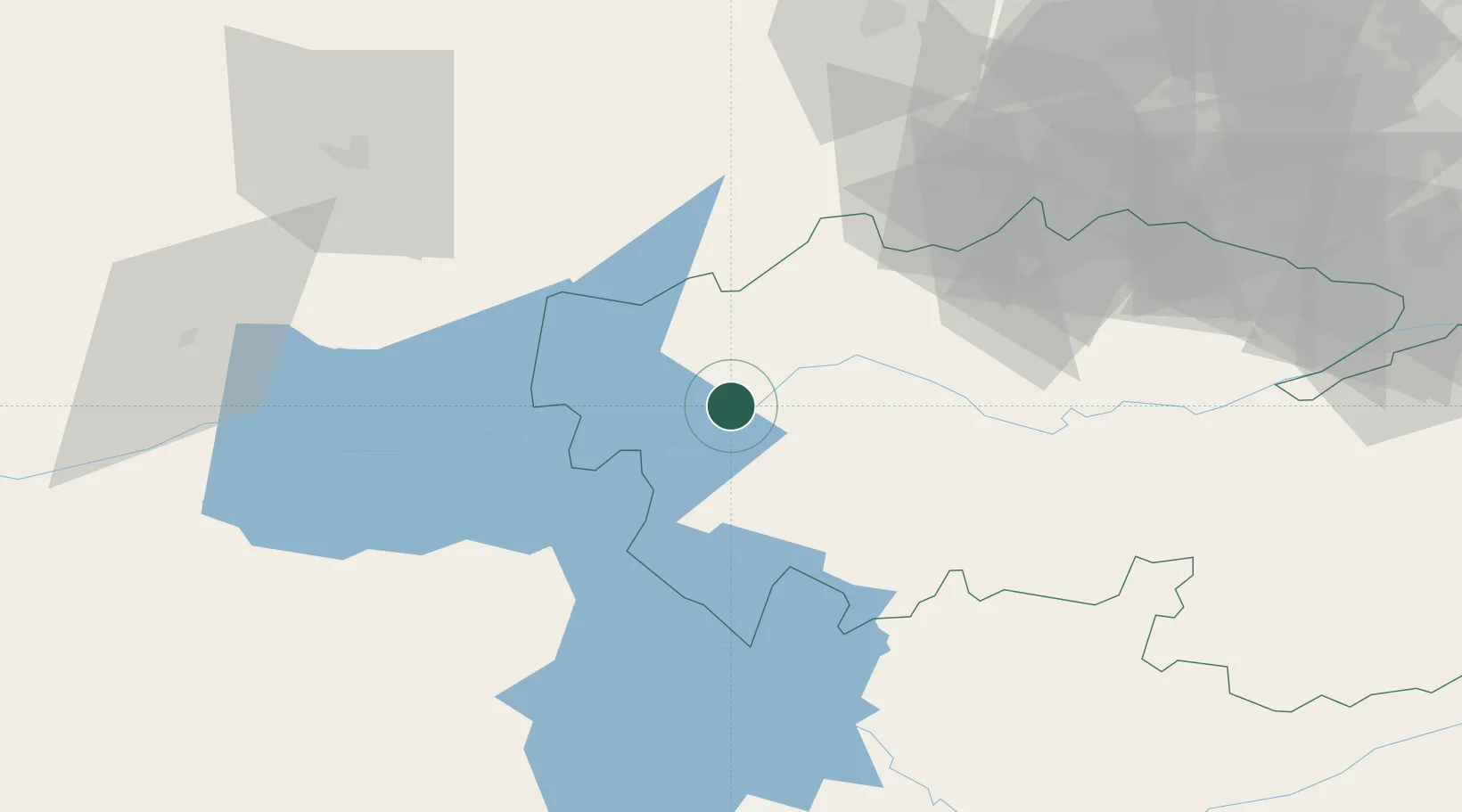
Place type
District seat
Region
Castille-La Mancha
Population
4,124
Time zone
Europe/Madrid
Elevation
389 m
Location
Nearby Logistics Neighbours
Cities
- 1Alcaudete de la Jaya15 km
- 2Oropesa16 km
- 3Lagartera19 km
- 4Pepino22 km
- 5Arenas de San Pedro36 km
Ports
- 1Sevilla293 km
- 2Aveiro323 km
- 3Figueira Da Foz331 km
- 4Huelva339 km
- 5Oporto342 km
Airports
- 1Madrid-Cuatro Vientos Airport115 km
- 2Getafe Air Base117 km
- 3Salamanca Airport127 km
- 4Adolfo Suárez Madrid–Barajas Airport138 km
- 5Ciudad Real International Airport144 km
Trade Zones
DatabookThe Record of Consolidated Knowledge
Spain beyond logistics?