Transport Functions
Multimodal
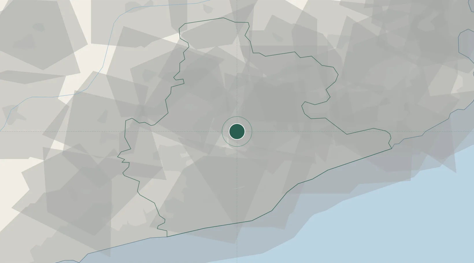
Hub Profile
Place type
District seat
Region
Catalonia
Population
116
Time zone
Europe/Madrid
Elevation
560 m
Location
Nearby Logistics Neighbours
Cities
- 1Cabrianes9 km
- 2Moia11 km
- 3Castelltercol11 km
- 4Santpedor14 km
- 5Castellgali15 km
Ports
- 1Barcelona45 km
- 2Villanueva Y Geltru59 km
- 3San Feliu De Guixols87 km
- 4Tarragona94 km
- 5Palamos95 km
Airports
Trade Zones
- 1Zona Franca de Barcelona46 km
- 2Depósito Franco de Tarragona92 km
- 3ZFU Perpignan131 km
- 4ZFU Béziers205 km
- 5ZFU Toulouse213 km
DatabookThe Record of Consolidated Knowledge
Spain beyond logistics?