Transport Functions
Multimodal
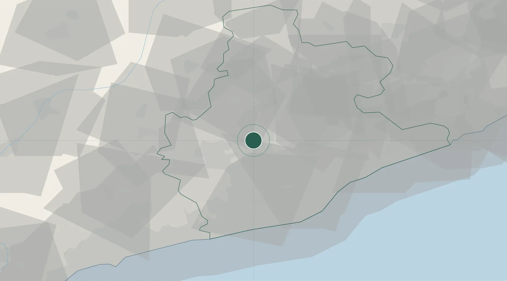
Hub Profile
Region
B
Location
Nearby Logistics Neighbours
Cities
- 1Rajadell12 km
- 2Santpedor13 km
- 3Cabrianes14 km
- 4Talamanca15 km
- 5Els Hostalets de Pierola16 km
Ports
- 1Barcelona45 km
- 2Villanueva Y Geltru49 km
- 3Tarragona81 km
- 4San Feliu De Guixols100 km
- 5Palamos108 km
Airports
Trade Zones
- 1Zona Franca de Barcelona44 km
- 2Depósito Franco de Tarragona78 km
- 3ZFU Perpignan144 km
- 4Depósito Franco de Zaragoza216 km
- 5ZFU Béziers217 km
DatabookThe Record of Consolidated Knowledge
Spain beyond logistics?