Transport Functions
Multimodal
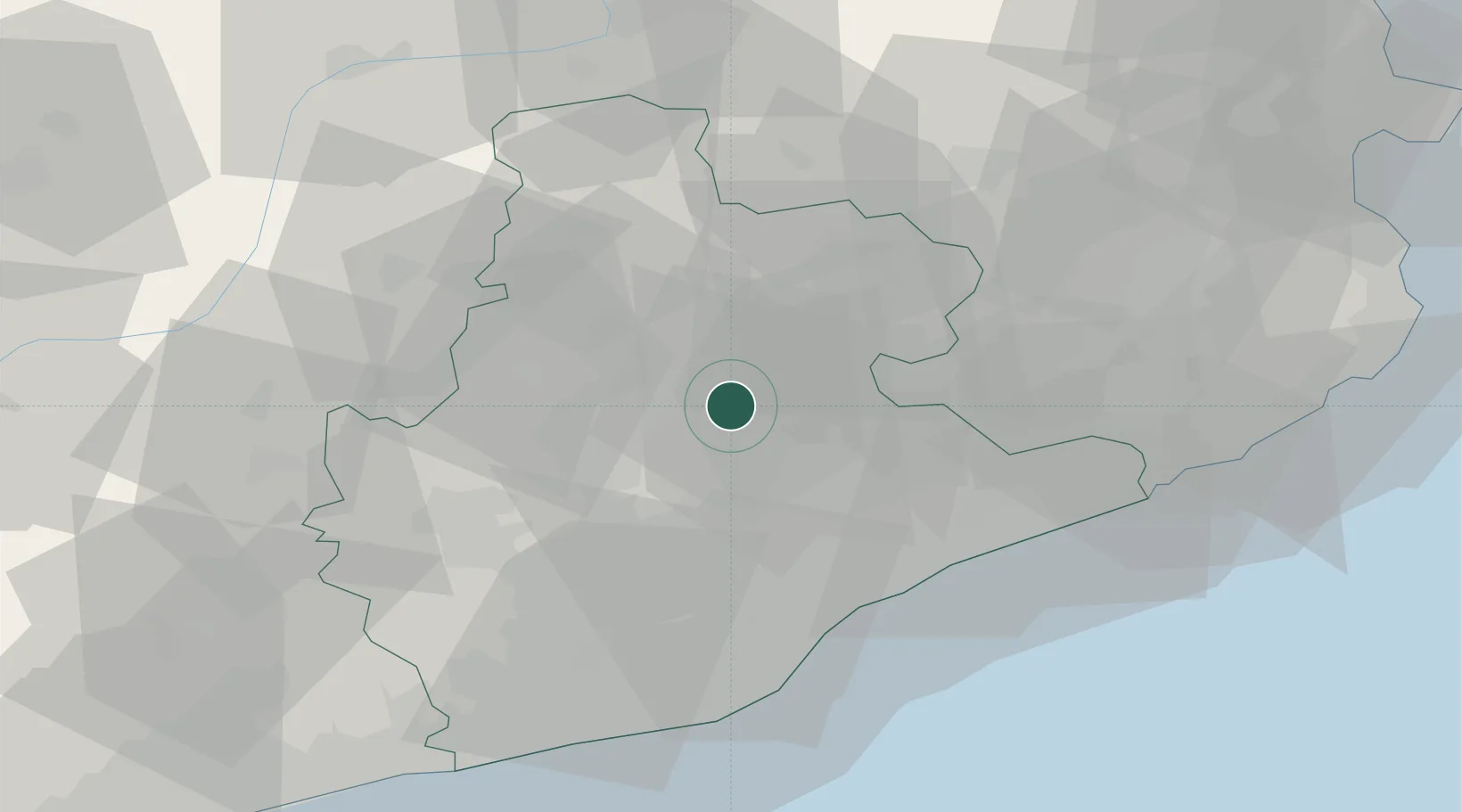
Hub Profile
Place type
Populated place
Region
Catalonia
Population
5,086
Time zone
Europe/Madrid
Elevation
709 m
Location
Nearby Logistics Neighbours
Cities
- 1Castelltercol6 km
- 2Talamanca11 km
- 3Sant Miquel de Balenya11 km
- 4Centelles11 km
- 5San Martin de Centellas12 km
Ports
- 1Barcelona51 km
- 2Villanueva Y Geltru69 km
- 3San Feliu De Guixols79 km
- 4Palamos86 km
- 5Rosas105 km
Airports
Trade Zones
- 1Zona Franca de Barcelona52 km
- 2Depósito Franco de Tarragona103 km
- 3ZFU Perpignan120 km
- 4ZFU Béziers194 km
- 5ZFU Toulouse207 km
DatabookThe Record of Consolidated Knowledge
Spain beyond logistics?