Transport Functions
Multimodal
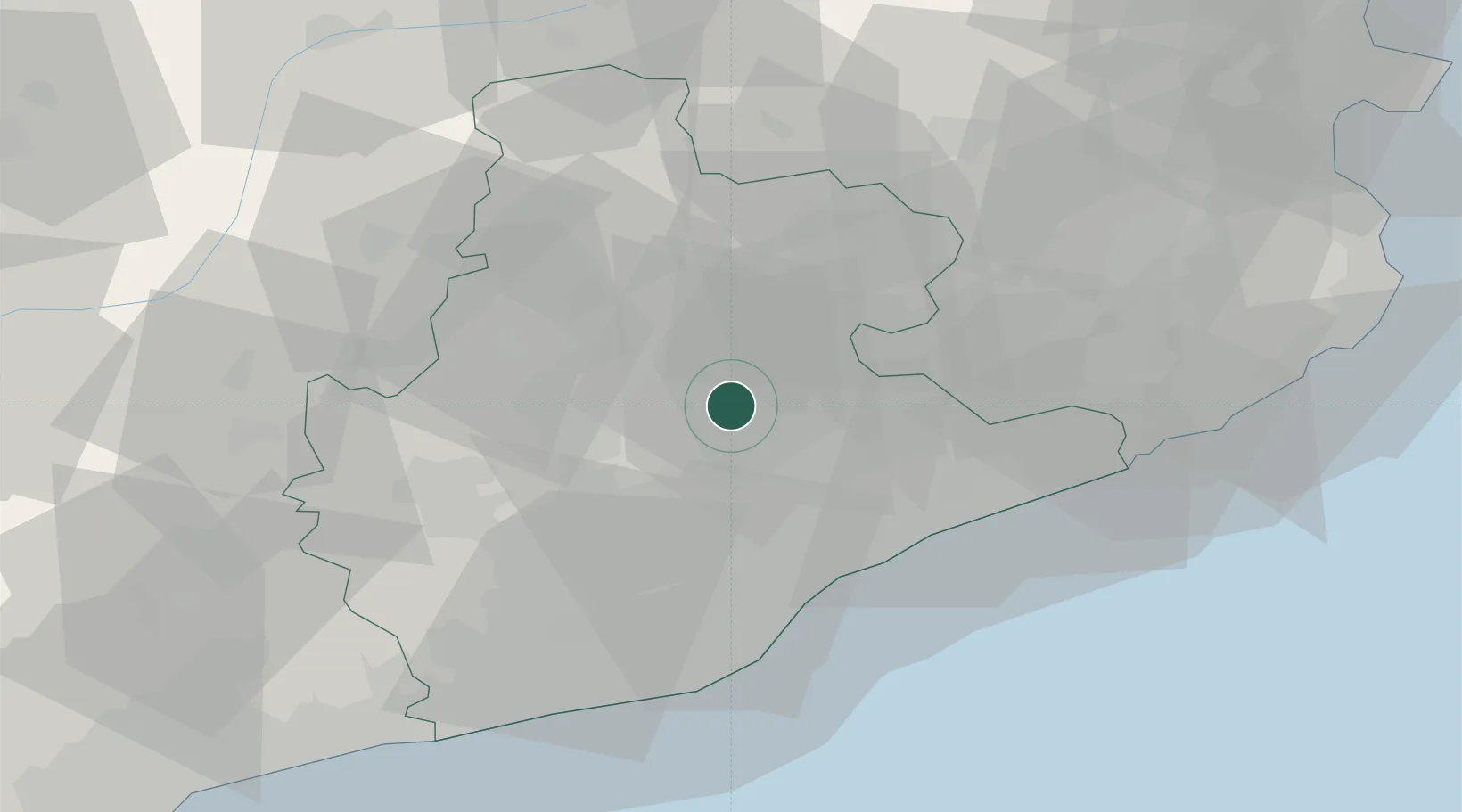
Hub Profile
Place type
District seat
Region
Catalonia
Time zone
Europe/Madrid
Elevation
727 m
Location
Nearby Logistics Neighbours
Cities
- 1Moia6 km
- 2San Martin de Centellas9 km
- 3Centelles9 km
- 4Sant Miquel de Balenya11 km
- 5Balenya11 km
Ports
- 1Barcelona45 km
- 2Villanueva Y Geltru66 km
- 3San Feliu De Guixols76 km
- 4Palamos83 km
- 5Tarragona103 km
Airports
Trade Zones
- 1Zona Franca de Barcelona46 km
- 2Depósito Franco de Tarragona101 km
- 3ZFU Perpignan123 km
- 4ZFU Béziers198 km
- 5ZFU Toulouse214 km
DatabookThe Record of Consolidated Knowledge
Spain beyond logistics?