Transport Functions
Port
Rail
Multimodal
Fixed Transport
Hub Profile
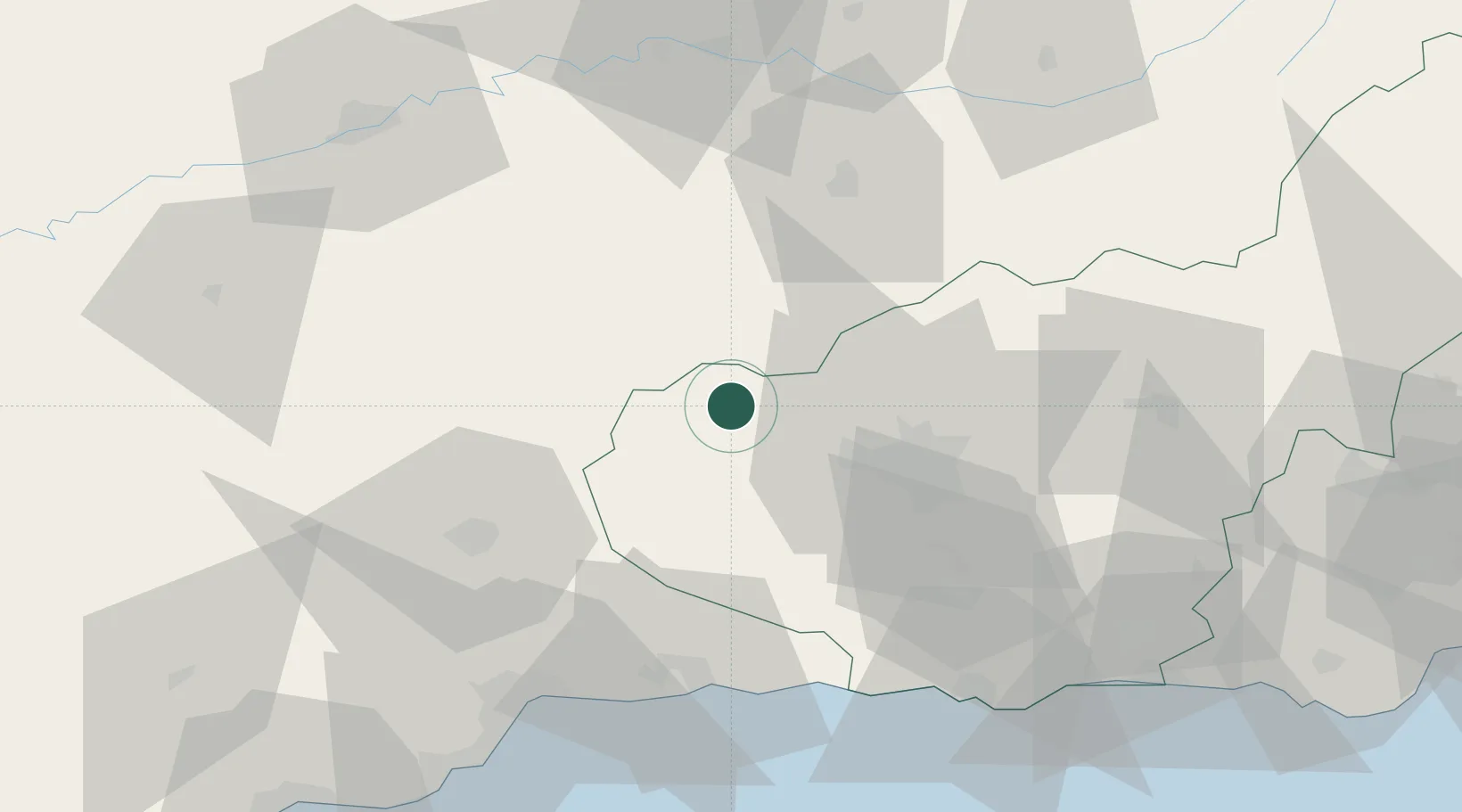
Place type
District seat
Region
Andalusia
Population
6,631
Time zone
Europe/Madrid
Elevation
796 m
Location
Nearby Logistics Neighbours
Cities
- 1Moraleda de Zafayona17 km
- 2Priego de Cordoba20 km
- 3Loja20 km
- 4Lachar21 km
- 5Fuente Vaqueros24 km
Airports
- 1F.G.L. Airport Granada-Jaén Airport26 km
- 2Armilla Air Base39 km
- 3Málaga-Costa del Sol Airport83 km
- 4Córdoba Airport94 km
- 5Moron Air Base142 km
Trade Zones
DatabookThe Record of Consolidated Knowledge
Spain beyond logistics?