Transport Functions
Rail
Road
Hub Profile
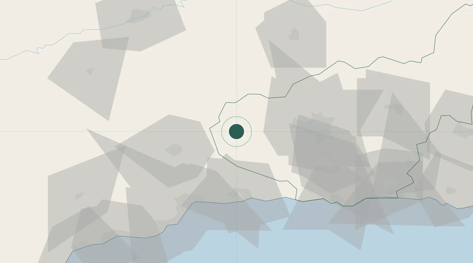
Place type
District seat
Region
Andalusia
Population
21,574
Time zone
Europe/Madrid
Elevation
453 m
Location
Nearby Logistics Neighbours
Cities
- 1Moraleda de Zafayona16 km
- 2Montefrio20 km
- 3Cuevas de San Marcos25 km
- 4Rute25 km
- 5Lachar28 km
Airports
- 1F.G.L. Airport Granada-Jaén Airport33 km
- 2Armilla Air Base46 km
- 3Málaga-Costa del Sol Airport63 km
- 4Córdoba Airport97 km
- 5Moron Air Base130 km
Trade Zones
DatabookThe Record of Consolidated Knowledge
Spain beyond logistics?