Transport Functions
Multimodal
Hub Profile
Place type
Populated place
Region
Murcia
Time zone
Europe/Madrid
Elevation
109 m
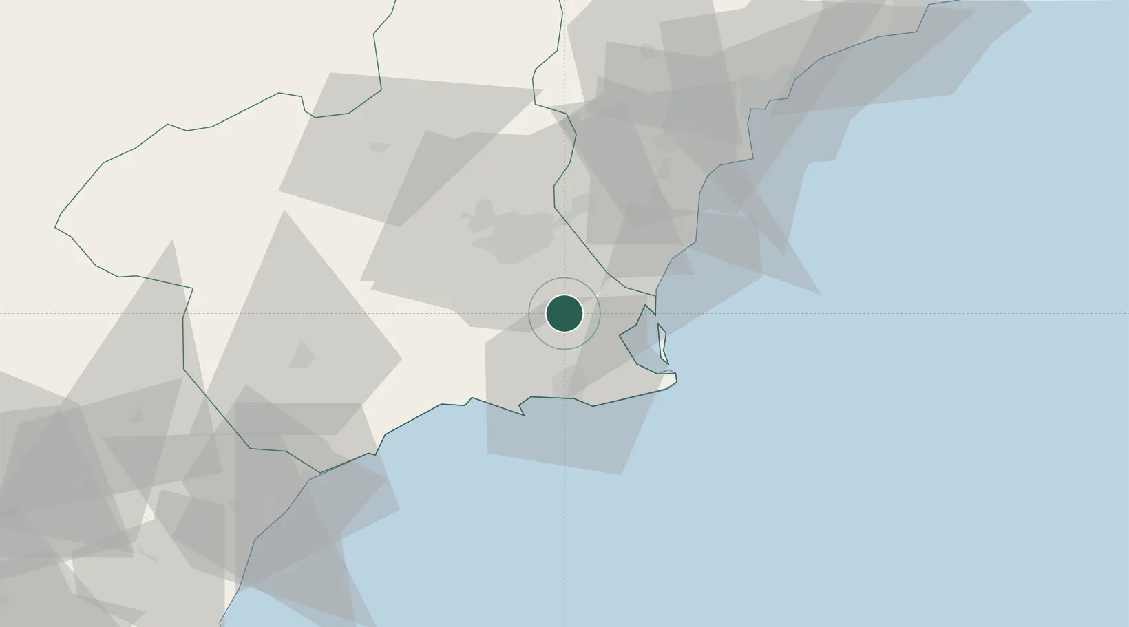
Location
Nearby Logistics Neighbours
Cities
- 1Balsicas5 km
- 2Jimenado6 km
- 3San Cayetano9 km
- 4Lobosillo10 km
- 5Corvera14 km
Ports
- 1Cartagena24 km
- 2Torrevieja33 km
- 3Aguilas67 km
- 4Alicante75 km
- 5Puerto De Garrucha100 km
Airports
Trade Zones
- 1Depósito Franco de Alicante75 km
- 2Depósito Franco de Valencia193 km
- 3Depósito Franco de Málaga322 km
- 4Melilla Autonomous Community328 km
- 5Berkane Agro-Pole338 km
DatabookThe Record of Consolidated Knowledge
Spain beyond logistics?