Transport Functions
Multimodal
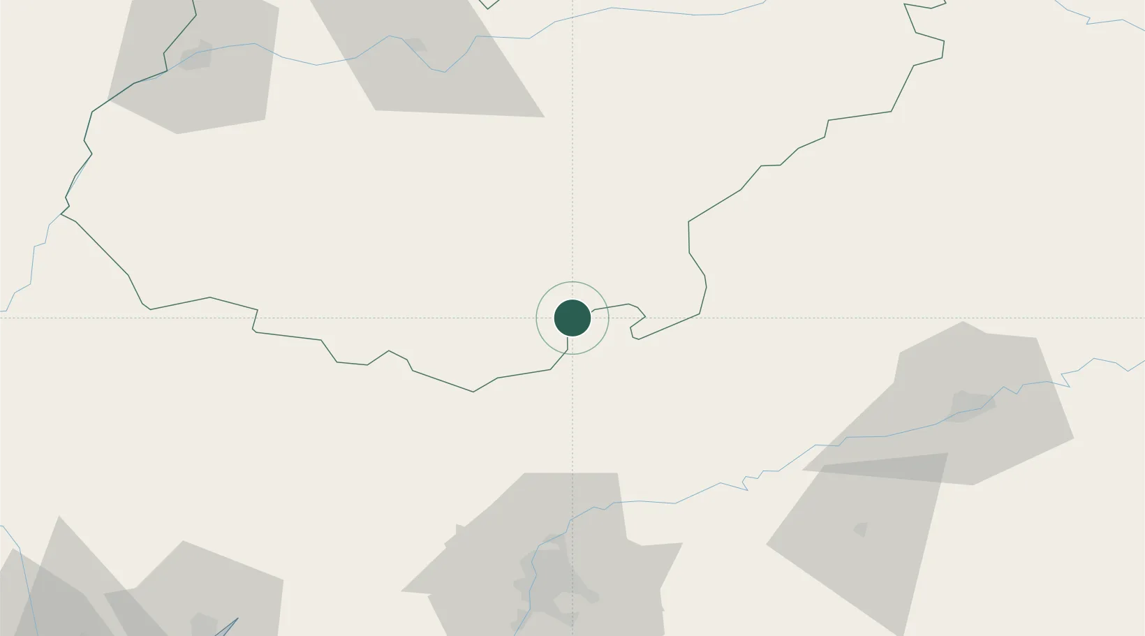
Hub Profile
Place type
Populated place
Region
Extremadura
Population
732
Time zone
Europe/Madrid
Elevation
741 m
Location
Nearby Logistics Neighbours
Cities
- 1Valverde de Llerena10 km
- 2Llerena14 km
- 3Berlanga17 km
- 4Malcocinado19 km
- 5Azuaga23 km
Ports
- 1Sevilla88 km
- 2Huelva136 km
- 3Vila Real De S Antonio170 km
- 4Rota175 km
- 5Cadiz183 km
Airports
- 1Madroñalejos Forest Fire fighting Heliport77 km
- 2Seville Airport81 km
- 3Córdoba Airport98 km
- 4Moron Air Base111 km
- 5Badajoz Airport115 km
Trade Zones
- 1Zona Franca de Sevilla91 km
- 2Puerto de Huelva136 km
- 3Depósito Franco de Málaga173 km
- 4Zona Franca de Cádiz186 km
- 5Depósito Franco de Algeciras229 km
DatabookThe Record of Consolidated Knowledge
Spain beyond logistics?