UN/LOCODE hub · Spain
ESEL2
Elche de la Sierra
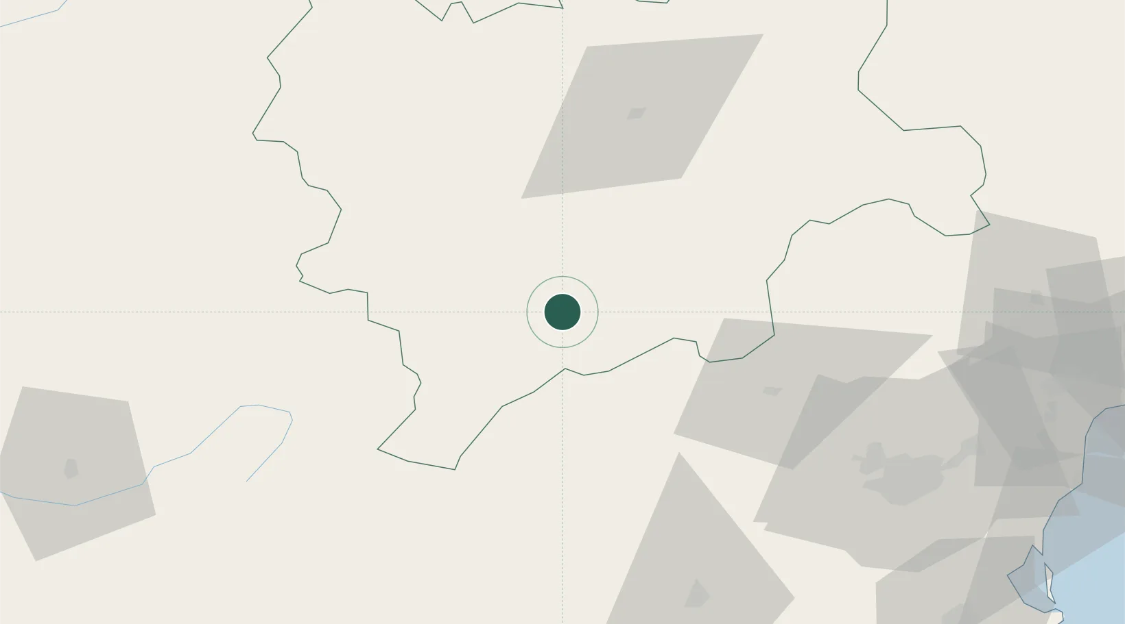
38.4500°, -2.0500°
3,894
Population
1
Transport functions
Transport Functions
Multimodal
Hub Profile
Place type
District seat
Region
Castille-La Mancha
Population
3,894
Time zone
Europe/Madrid
Elevation
642 m
Location
Nearby Logistics Neighbours
Cities
- 1Lietor13 km
- 2Yeste24 km
- 3Canaleja52 km
- 4La Alberquilla55 km
- 5Geneva57 km
Ports
- 1Aguilas124 km
- 2Torrevieja131 km
- 3Cartagena134 km
- 4Alicante137 km
- 5Puerto De Garrucha142 km
Airports
Trade Zones
DatabookThe Record of Consolidated Knowledge
Spain beyond logistics?