Transport Functions
Multimodal
Hub Profile
Place type
District seat
Region
Castille-La Mancha
Population
1,557
Time zone
Europe/Madrid
Elevation
672 m
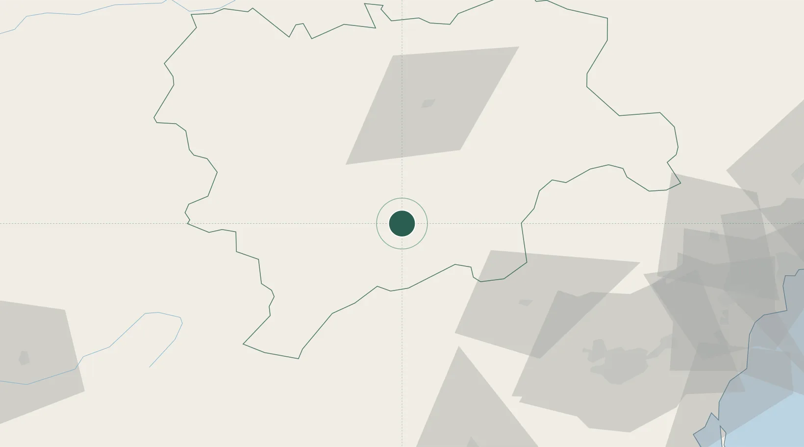
Location
Nearby Logistics Neighbours
Cities
- 1Elche de la Sierra13 km
- 2Yeste36 km
- 3Fuente-Álamo49 km
- 4La Alberquilla50 km
- 5Albacete51 km
Ports
- 1Torrevieja127 km
- 2Alicante130 km
- 3Aguilas130 km
- 4Cartagena135 km
- 5Puerto De Garrucha151 km
Airports
Trade Zones
DatabookThe Record of Consolidated Knowledge
Spain beyond logistics?