UN/LOCODE hub · Spain
ESEGR

Grove

42.5000°, -8.8667°
2
Transport functions

Transport Functions

Port
Road
UN/LOCODE

Hub Profile

Region
PO
GeoNames

Location

Location of ESEGR
Natural Earth 10m (public domain) · PO · ESEGR · 42.50, -8.87GoogleOSMYandex

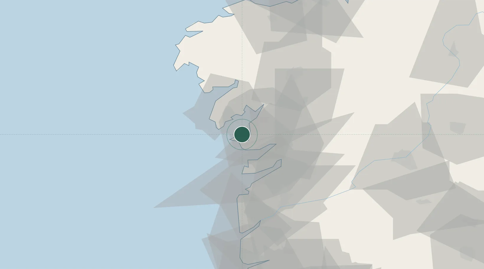
Nearby Logistics Neighbours

Cities
  1. 1Castrelo5 km
  2. 2Ribadumia10 km
  3. 3Meis10 km
  4. 4Sobradelo12 km
  5. 5Sangenjo12 km
Nearest neighbours — logibook spatial index (haversine) over the source coordinates
Ports
  1. 1Villagarcia De Arosa14 km
  2. 2Marin18 km
  3. 3Vigo32 km
  4. 4Viana Do Castelo89 km
  5. 5La Coruna104 km
Nearest neighbours — logibook spatial index (haversine) over the source coordinates
Airports
  1. 1Vigo Airport36 km
  2. 2Santiago-Rosalía de Castro Airport58 km
  3. 3A Coruña Airport98 km
  4. 4Braga Municipal Aerodrome107 km
  5. 5Vilar de Luz Airfield139 km
Nearest neighbours — logibook spatial index (haversine) over the source coordinates
Trade Zones
  1. 1Zona Franca de Vigo32 km
  2. 2Depósito Franco de La Coruña103 km
  3. 3Zona Livre Tecnológica Masotinhos148 km
  4. 4VGP Park Santa Maria da Feira176 km
  5. 5Depósito Franco de Gijón284 km
Nearest neighbours — logibook spatial index (haversine) over the source coordinates
DatabookThe Record of Consolidated Knowledge
Spain beyond logistics?
Browse databook

All Sources

LocationsUN/LOCODE
UN/LOCODE — free
Portsthe NGA World Port Index
Public domain (US gov)
AirportsOurAirports
Public domain
Trade Zonesthe World Bank SEZ database
CC BY 4.0
Trade ZonesOpen Zone Map
CC BY
← Spain locations