Transport Functions
Port
Multimodal
Hub Profile
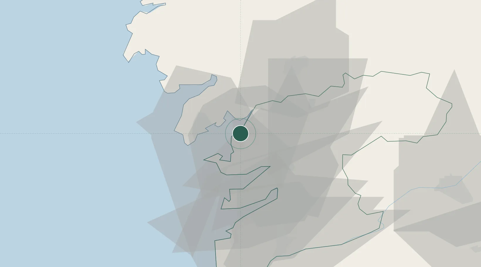
Place type
Populated place
Region
Galicia
Population
1,856
Time zone
Europe/Madrid
Elevation
34 m
Location
Nearby Logistics Neighbours
Cities
- 1Villagarcía de Arosa2 km
- 2Ribadumia10 km
- 3Meis10 km
- 4Catoira11 km
- 5Castrelo12 km
Ports
- 1Villagarcia De Arosa2 km
- 2Marin22 km
- 3Vigo39 km
- 4La Coruna93 km
- 5Viana Do Castelo98 km
Airports
- 1Vigo Airport41 km
- 2Santiago-Rosalía de Castro Airport46 km
- 3A Coruña Airport87 km
- 4Braga Municipal Aerodrome114 km
- 5Vilar de Luz Airfield147 km
Trade Zones
DatabookThe Record of Consolidated Knowledge
Spain beyond logistics?