UN/LOCODE hub · Spain
ESRDU

Ribadumia

42.5000°, -8.7500°
5,069
Population
2
Transport functions

Transport Functions

Road
Multimodal
UN/LOCODE

Hub Profile

Place type
Populated place
GeoNames
Region
Galicia
GeoNames
Population
5,069
GeoNames
Time zone
Europe/Madrid
GeoNames
Elevation
45 m
GeoNames

Location

Location of ESRDU
Natural Earth 10m (public domain) · Galicia · ESRDU · 42.50, -8.75GoogleOSMYandex

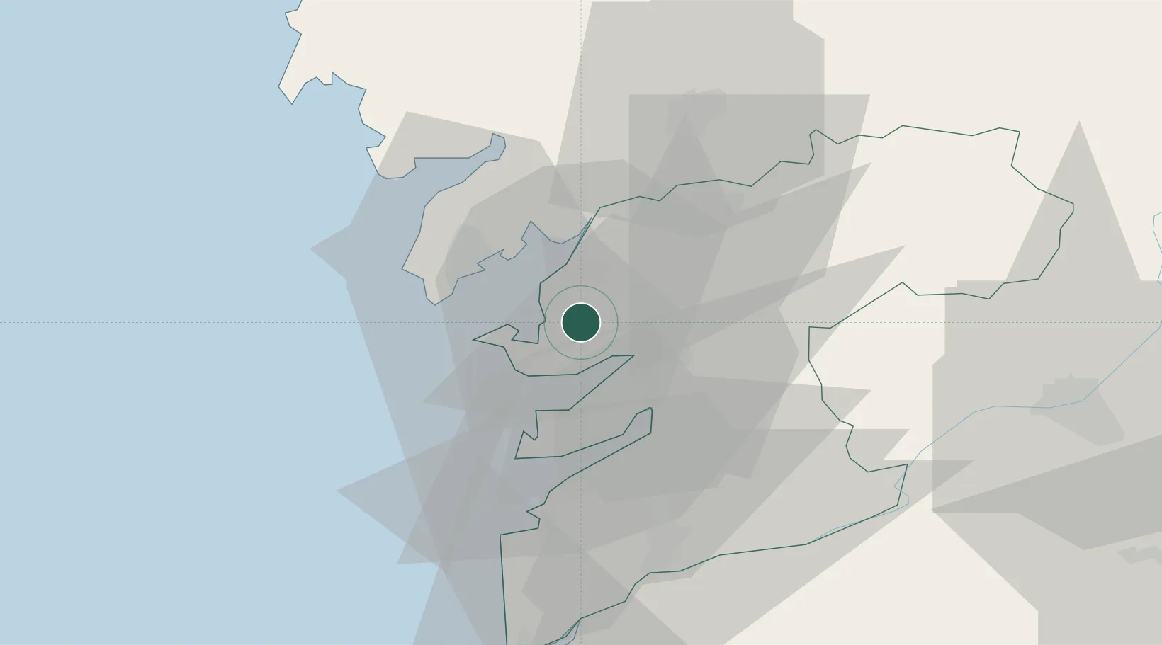
Nearby Logistics Neighbours

Cities
  1. 1Meis0 km
  2. 2Castrelo6 km
  3. 3Grove10 km
  4. 4Sobradelo10 km
  5. 5Barro10 km
Nearest neighbours — logibook spatial index (haversine) over the source coordinates
Ports
  1. 1Villagarcia De Arosa11 km
  2. 2Marin12 km
  3. 3Vigo30 km
  4. 4Viana Do Castelo89 km
  5. 5La Coruna101 km
Nearest neighbours — logibook spatial index (haversine) over the source coordinates
Airports
  1. 1Vigo Airport32 km
  2. 2Santiago-Rosalía de Castro Airport52 km
  3. 3A Coruña Airport94 km
  4. 4Braga Municipal Aerodrome105 km
  5. 5Vilar de Luz Airfield137 km
Nearest neighbours — logibook spatial index (haversine) over the source coordinates
Trade Zones
  1. 1Zona Franca de Vigo30 km
  2. 2Depósito Franco de La Coruña100 km
  3. 3Zona Livre Tecnológica Masotinhos147 km
  4. 4VGP Park Santa Maria da Feira175 km
  5. 5Depósito Franco de Gijón275 km
Nearest neighbours — logibook spatial index (haversine) over the source coordinates
DatabookThe Record of Consolidated Knowledge
Spain beyond logistics?
Browse databook

All Sources

LocationsUN/LOCODE
UN/LOCODE — free
LocationsGeoNames
CC BY 4.0
Portsthe NGA World Port Index
Public domain (US gov)
AirportsOurAirports
Public domain
Trade Zonesthe World Bank SEZ database
CC BY 4.0
Trade ZonesOpen Zone Map
CC BY
← Spain locations