UN/LOCODE hub · Spain
ESZLN

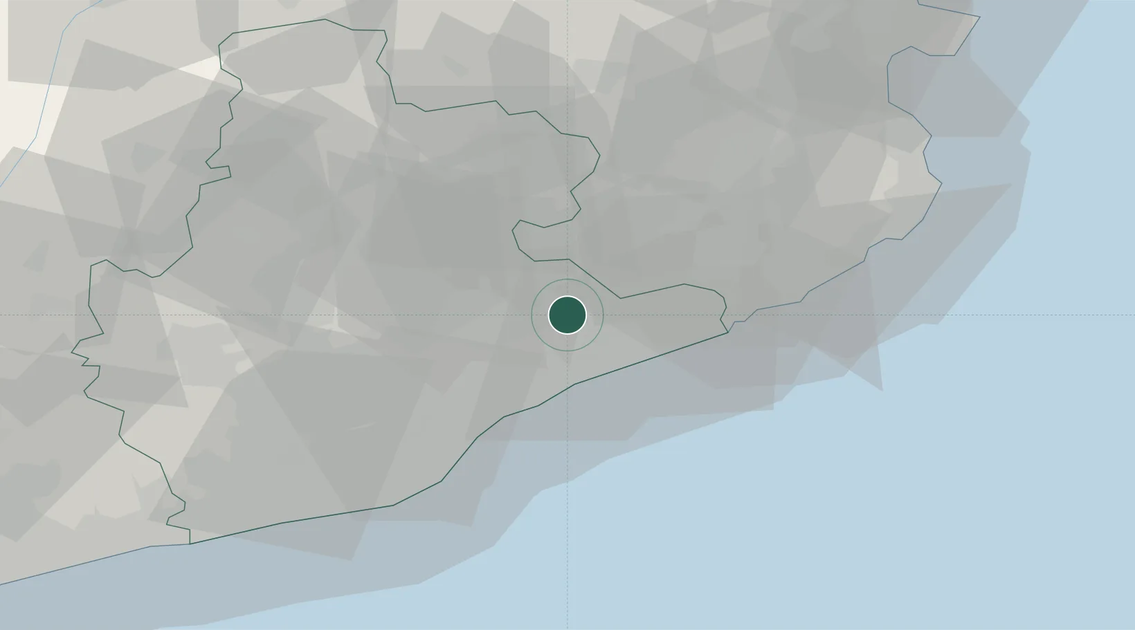
Santa Maria de Palautordera

41.6833°, 2.4333°
7,739
Population
1
Transport functions

Transport Functions

Multimodal
UN/LOCODE

Hub Profile

Place type
District seat
GeoNames
Region
Catalonia
GeoNames
Population
7,739
GeoNames
Time zone
Europe/Madrid
GeoNames
Elevation
213 m
GeoNames

Location

Location of ESZLN
Natural Earth 10m (public domain) · Catalonia · ESZLN · 41.68, 2.43GoogleOSMYandex

Nearby Logistics Neighbours

Cities
  1. 1San Antoni de Vilamajor3 km
  2. 2Sant Celoni4 km
  3. 3San Pedro de Vilamajor4 km
  4. 4La Batlloria10 km
  5. 5Riells I Viabrea11 km
Nearest neighbours — logibook spatial index (haversine) over the source coordinates
Ports
  1. 1Barcelona43 km
  2. 2San Feliu De Guixols51 km
  3. 3Palamos59 km
  4. 4Villanueva Y Geltru77 km
  5. 5Rosas90 km
Nearest neighbours — logibook spatial index (haversine) over the source coordinates
Airports
  1. 1Folgueroles Airfield32 km
  2. 2Girona-Costa Brava Airport37 km
  3. 3Josep Tarradellas Barcelona-El Prat Airport52 km
  4. 4Pirineus - la Seu d'Urgel Airport112 km
  5. 5Reus Airport121 km
Nearest neighbours — logibook spatial index (haversine) over the source coordinates
Trade Zones
  1. 1Zona Franca de Barcelona47 km
  2. 2Depósito Franco de Tarragona117 km
  3. 3ZFU Perpignan119 km
  4. 4ZFU Béziers195 km
  5. 5ZFU Toulouse229 km
Nearest neighbours — logibook spatial index (haversine) over the source coordinates
DatabookThe Record of Consolidated Knowledge
Spain beyond logistics?
Browse databook

All Sources

LocationsUN/LOCODE
UN/LOCODE — free
LocationsGeoNames
CC BY 4.0
Portsthe NGA World Port Index
Public domain (US gov)
AirportsOurAirports
Public domain
Trade Zonesthe World Bank SEZ database
CC BY 4.0
Trade ZonesOpen Zone Map
CC BY
← Spain locations