Transport Functions
Port
Rail
Road
Hub Profile
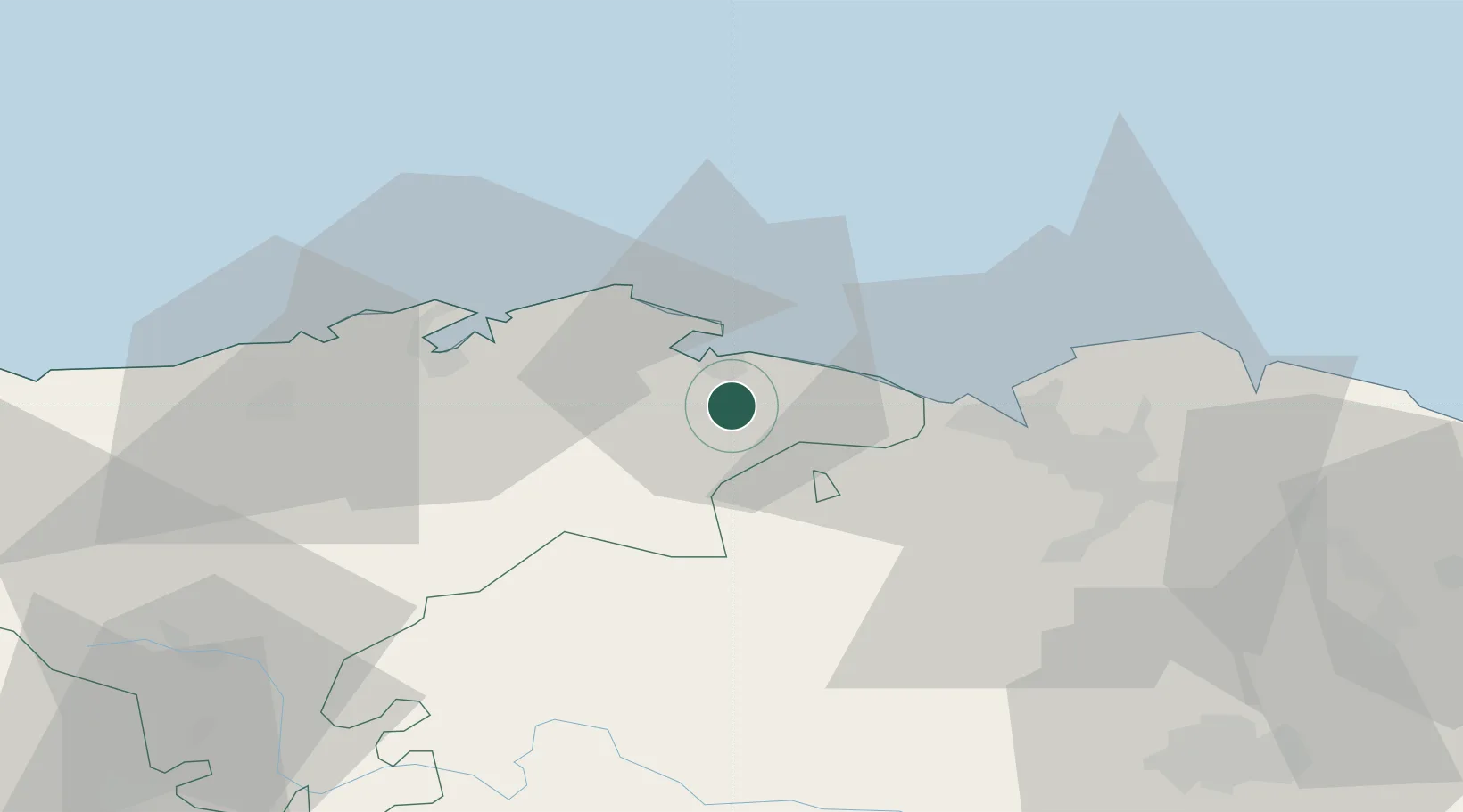
Place type
District seat
Region
Cantabria
Population
3,713
Time zone
Europe/Madrid
Elevation
13 m
Location
Nearby Logistics Neighbours
Cities
- 1Bueras4 km
- 2Cicero8 km
- 3Samano15 km
- 4San Mames De Meruelo16 km
- 5Praves17 km
Ports
- 1Puerto De Bilbao30 km
- 2Santander32 km
- 3Bermeo57 km
- 4Puerto De Pasajes120 km
- 5Bayonne158 km
Airports
- 1Seve Ballesteros-Santander Airport34 km
- 2Bilbao Airport41 km
- 3Vitoria Airport77 km
- 4Burgos Airport112 km
- 5San Sebastián Airport132 km
Trade Zones
DatabookThe Record of Consolidated Knowledge
Spain beyond logistics?