Transport Functions
Road
Multimodal
Hub Profile
Region
SS
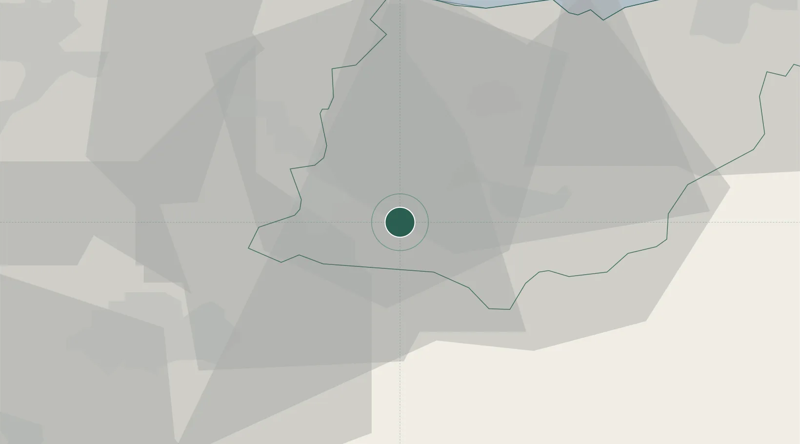
Location
Nearby Logistics Neighbours
Cities
- 1Arechavaleta8 km
- 2Escoriaza10 km
- 3Bergara11 km
- 4Elgeta15 km
- 5Araya16 km
Ports
- 1Bermeo51 km
- 2Puerto De Pasajes52 km
- 3Puerto De Bilbao64 km
- 4Bayonne93 km
- 5Santander123 km
Airports
- 1Vitoria Airport30 km
- 2Bilbao Airport52 km
- 3Logroño-Agoncillo Airport62 km
- 4San Sebastián Airport62 km
- 5Pamplona Airport67 km
Trade Zones
DatabookThe Record of Consolidated Knowledge
Spain beyond logistics?