Transport Functions
Multimodal
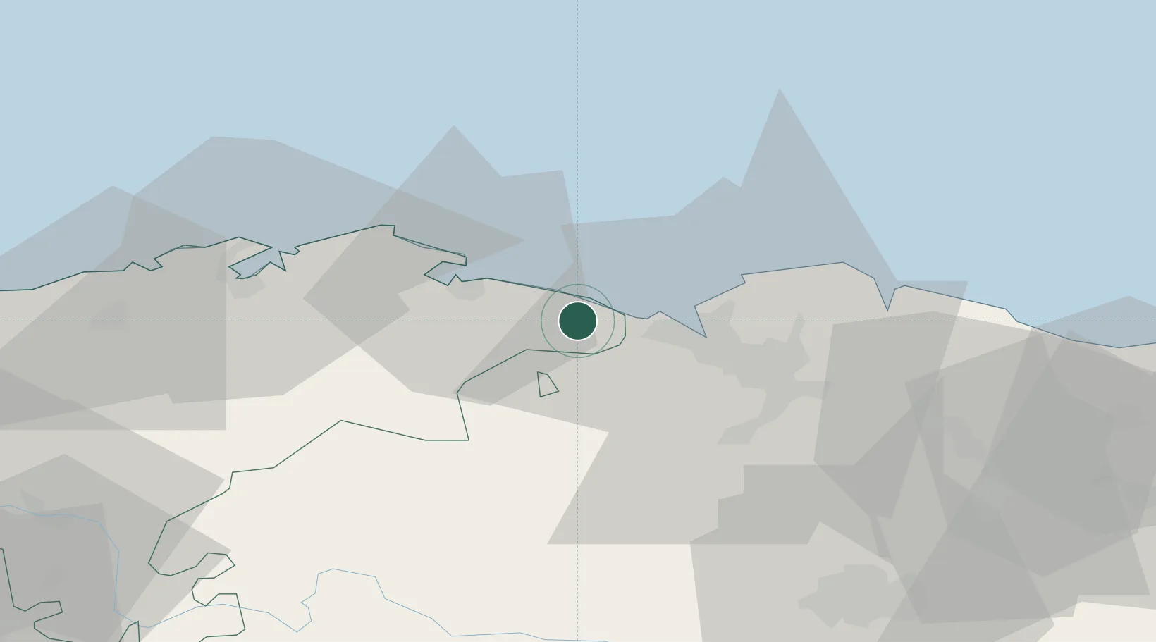
Hub Profile
Place type
Populated place
Region
Cantabria
Time zone
Europe/Madrid
Elevation
63 m
Location
Nearby Logistics Neighbours
Cities
- 1Castro-Urdiales4 km
- 2Onton5 km
- 3Zierbena12 km
- 4Ortuella14 km
- 5Gallarta15 km
Ports
- 1Puerto De Bilbao15 km
- 2Bermeo42 km
- 3Santander46 km
- 4Puerto De Pasajes105 km
- 5Bayonne144 km
Airports
- 1Bilbao Airport27 km
- 2Seve Ballesteros-Santander Airport48 km
- 3Vitoria Airport66 km
- 4Burgos Airport115 km
- 5San Sebastián Airport117 km
Trade Zones
DatabookThe Record of Consolidated Knowledge
Spain beyond logistics?