UN/LOCODE hub · Estonia
EELAN

Lääne

58.5333°, 23.6833°
1
Transport functions

Transport Functions

Port
UN/LOCODE

Hub Profile

Place type
Populated place
GeoNames
Region
Raplamaa
GeoNames
Time zone
Europe/Tallinn
GeoNames
Elevation
38 m
GeoNames

Location

Location of EELAN
Natural Earth 10m (public domain) · Raplamaa · EELAN · 58.53, 23.68GoogleOSMYandex

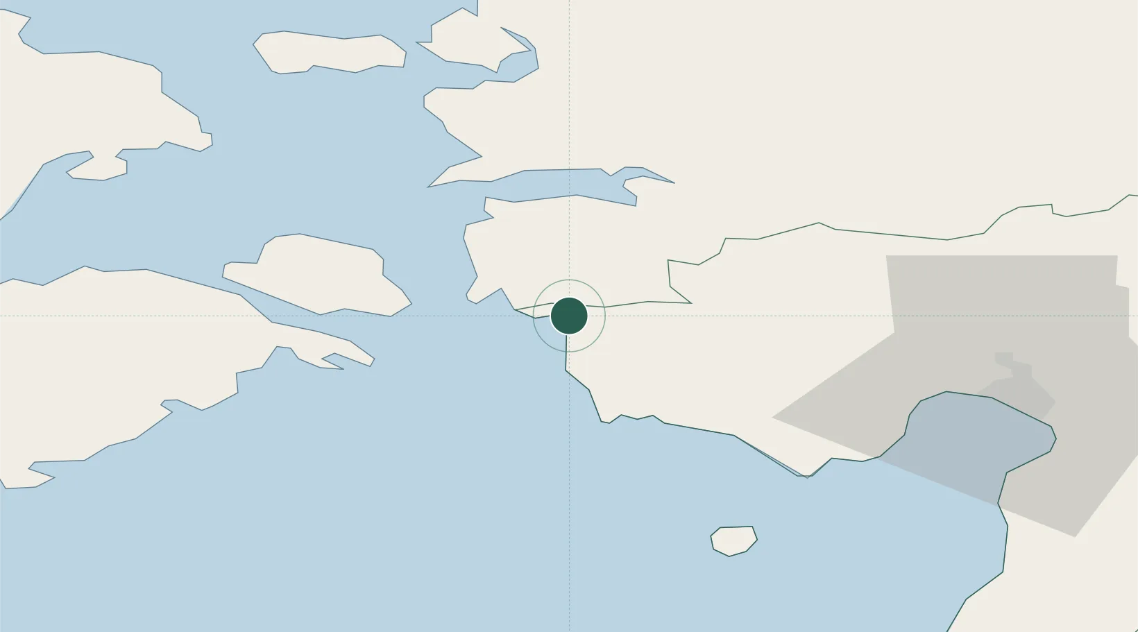
Nearby Logistics Neighbours

Cities
  1. 1Admirali Väikesadam0 km
  2. 2Paatsalu2 km
  3. 3Männi2 km
  4. 4Virtsu Vanasadam9 km
  5. 5Pihelgalaiu9 km
Nearest neighbours — logibook spatial index (haversine) over the source coordinates
Ports
  1. 1Virtsu11 km
  2. 2Rohukula44 km
  3. 3Parnu49 km
  4. 4Heltermaa52 km
  5. 5Roomassaare77 km
Nearest neighbours — logibook spatial index (haversine) over the source coordinates
Airports
  1. 1Pärnu Airport48 km
  2. 2Kärdla Airport71 km
  3. 3Kuressaare Airport76 km
  4. 4Ämari Air Base86 km
  5. 5Ruhnu Airfield87 km
Nearest neighbours — logibook spatial index (haversine) over the source coordinates
Trade Zones
  1. 1Paldiski Free Zone92 km
  2. 2Muuga Free Zone114 km
  3. 3Freeport of Hanko151 km
  4. 4Free Port of Riga177 km
  5. 5Free port of Ventspils179 km
Nearest neighbours — logibook spatial index (haversine) over the source coordinates
DatabookThe Record of Consolidated Knowledge
Estonia beyond logistics?
Browse databook

All Sources

LocationsUN/LOCODE
UN/LOCODE — free
Portsthe NGA World Port Index
Public domain (US gov)
AirportsOurAirports
Public domain
Trade Zonesthe World Bank SEZ database
CC BY 4.0
Trade ZonesOpen Zone Map
CC BY
← Estonia locations