UN/LOCODE hub · Estonia
EEVPS

Varbla Puhkeküla

58.4333°, 23.6833°
1
Transport functions

Transport Functions

Port
UN/LOCODE

Hub Profile

Region
68
GeoNames

Location

Location of EEVPS
Natural Earth 10m (public domain) · 68 · EEVPS · 58.43, 23.68GoogleOSMYandex

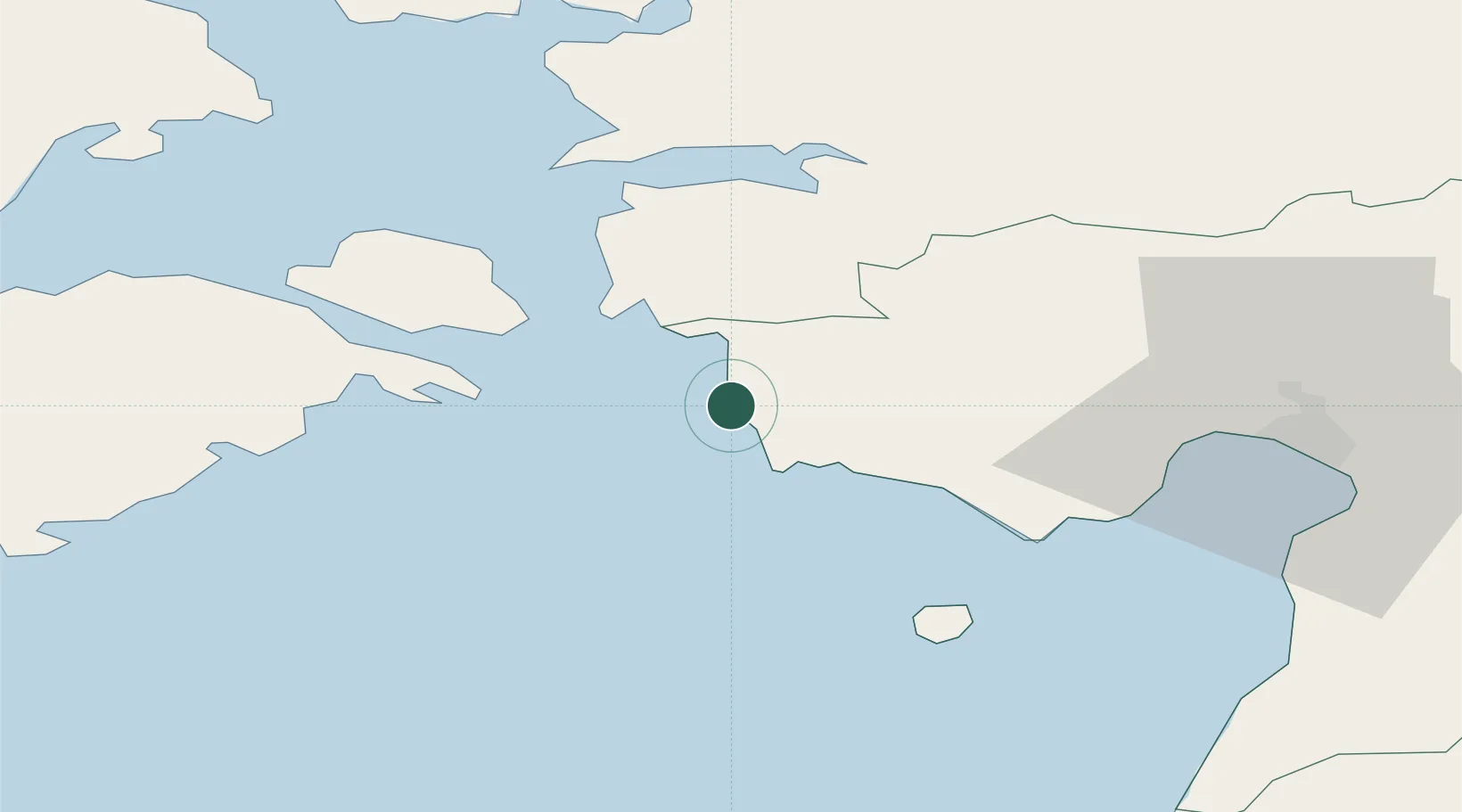
Nearby Logistics Neighbours

Cities
  1. 1Pihelgalaiu2 km
  2. 2Paatsalu9 km
  3. 3Männi9 km
  4. 4Admirali Väikesadam11 km
  5. 5Lääne11 km
Nearest neighbours — logibook spatial index (haversine) over the source coordinates
Ports
  1. 1Virtsu19 km
  2. 2Parnu47 km
  3. 3Rohukula55 km
  4. 4Heltermaa61 km
  5. 5Roomassaare73 km
Nearest neighbours — logibook spatial index (haversine) over the source coordinates
Airports
  1. 1Pärnu Airport46 km
  2. 2Kuressaare Airport72 km
  3. 3Ruhnu Airfield76 km
  4. 4Kärdla Airport79 km
  5. 5Ämari Air Base97 km
Nearest neighbours — logibook spatial index (haversine) over the source coordinates
Trade Zones
  1. 1Paldiski Free Zone103 km
  2. 2Muuga Free Zone123 km
  3. 3Freeport of Hanko162 km
  4. 4Free Port of Riga166 km
  5. 5Free port of Ventspils172 km
Nearest neighbours — logibook spatial index (haversine) over the source coordinates
DatabookThe Record of Consolidated Knowledge
Estonia beyond logistics?
Browse databook

All Sources

LocationsUN/LOCODE
UN/LOCODE — free
Portsthe NGA World Port Index
Public domain (US gov)
AirportsOurAirports
Public domain
Trade Zonesthe World Bank SEZ database
CC BY 4.0
Trade ZonesOpen Zone Map
CC BY
← Estonia locations