UN/LOCODE hub · Estonia
EEPHL

Pihelgalaiu

58.4500°, 23.6667°
1
Transport functions

Transport Functions

Port
UN/LOCODE

Hub Profile

Region
68
GeoNames

Location

Location of EEPHL
Natural Earth 10m (public domain) · 68 · EEPHL · 58.45, 23.67GoogleOSMYandex

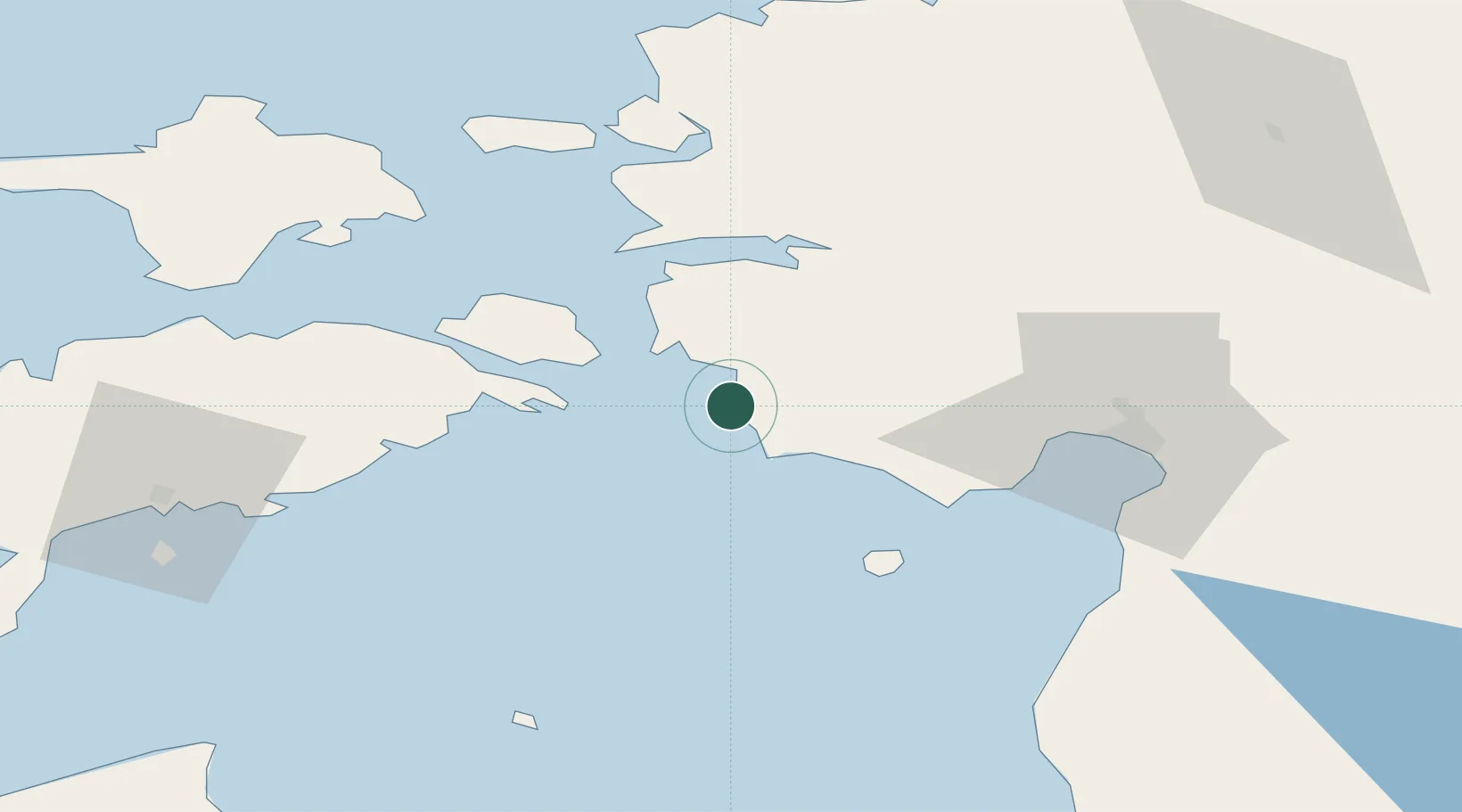
Nearby Logistics Neighbours

Cities
  1. 1Varbla Puhkeküla2 km
  2. 2Männi7 km
  3. 3Paatsalu8 km
  4. 4Admirali Väikesadam9 km
  5. 5Lääne9 km
Nearest neighbours — logibook spatial index (haversine) over the source coordinates
Ports
  1. 1Virtsu17 km
  2. 2Parnu48 km
  3. 3Rohukula53 km
  4. 4Heltermaa59 km
  5. 5Roomassaare73 km
Nearest neighbours — logibook spatial index (haversine) over the source coordinates
Airports
  1. 1Pärnu Airport47 km
  2. 2Kuressaare Airport72 km
  3. 3Kärdla Airport77 km
  4. 4Ruhnu Airfield78 km
  5. 5Ämari Air Base95 km
Nearest neighbours — logibook spatial index (haversine) over the source coordinates
Trade Zones
  1. 1Paldiski Free Zone101 km
  2. 2Muuga Free Zone122 km
  3. 3Freeport of Hanko160 km
  4. 4Free Port of Riga168 km
  5. 5Free port of Ventspils172 km
Nearest neighbours — logibook spatial index (haversine) over the source coordinates
DatabookThe Record of Consolidated Knowledge
Estonia beyond logistics?
Browse databook

All Sources

LocationsUN/LOCODE
UN/LOCODE — free
Portsthe NGA World Port Index
Public domain (US gov)
AirportsOurAirports
Public domain
Trade Zonesthe World Bank SEZ database
CC BY 4.0
Trade ZonesOpen Zone Map
CC BY
← Estonia locations