UN/LOCODE hub · Estonia
EEMNI

Männi

58.5167°, 23.6667°
1
Transport functions

Transport Functions

Port
UN/LOCODE

Hub Profile

Place type
Populated place
GeoNames
Region
Raplamaa
GeoNames
Time zone
Europe/Tallinn
GeoNames
Elevation
23 m
GeoNames

Location

Location of EEMNI
Natural Earth 10m (public domain) · Raplamaa · EEMNI · 58.52, 23.67GoogleOSMYandex

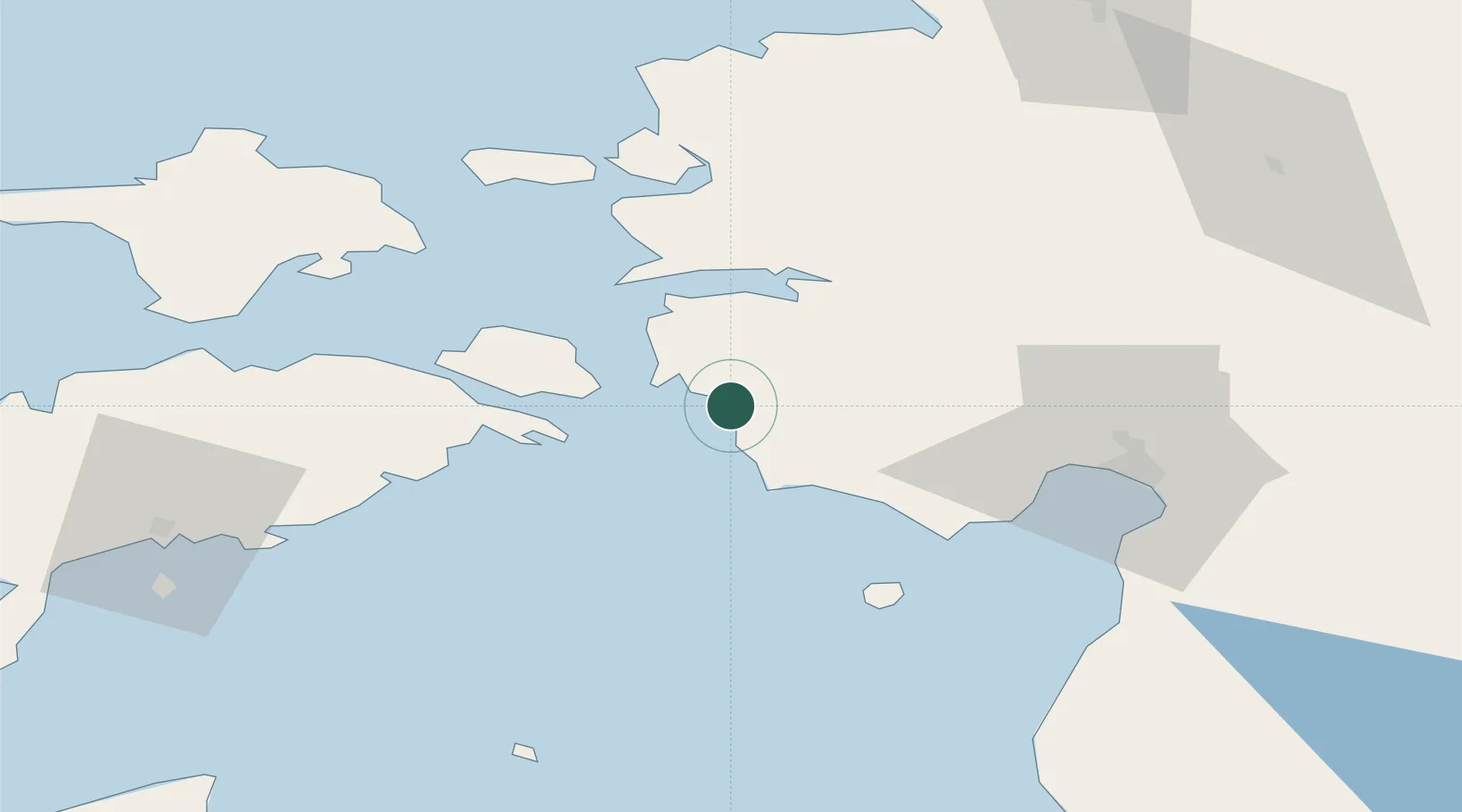
Nearby Logistics Neighbours

Cities
  1. 1Paatsalu1 km
  2. 2Admirali Väikesadam2 km
  3. 3Lääne2 km
  4. 4Pihelgalaiu7 km
  5. 5Varbla Puhkeküla9 km
Nearest neighbours — logibook spatial index (haversine) over the source coordinates
Ports
  1. 1Virtsu11 km
  2. 2Rohukula46 km
  3. 3Parnu50 km
  4. 4Heltermaa53 km
  5. 5Roomassaare76 km
Nearest neighbours — logibook spatial index (haversine) over the source coordinates
Airports
  1. 1Pärnu Airport48 km
  2. 2Kärdla Airport71 km
  3. 3Kuressaare Airport75 km
  4. 4Ruhnu Airfield85 km
  5. 5Ämari Air Base88 km
Nearest neighbours — logibook spatial index (haversine) over the source coordinates
Trade Zones
  1. 1Paldiski Free Zone94 km
  2. 2Muuga Free Zone116 km
  3. 3Freeport of Hanko153 km
  4. 4Free Port of Riga175 km
  5. 5Free port of Ventspils177 km
Nearest neighbours — logibook spatial index (haversine) over the source coordinates
DatabookThe Record of Consolidated Knowledge
Estonia beyond logistics?
Browse databook

All Sources

LocationsUN/LOCODE
UN/LOCODE — free
Portsthe NGA World Port Index
Public domain (US gov)
AirportsOurAirports
Public domain
Trade Zonesthe World Bank SEZ database
CC BY 4.0
Trade ZonesOpen Zone Map
CC BY
← Estonia locations