Transport Functions
Rail
Road
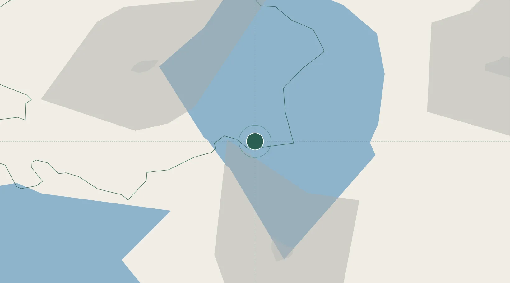
Hub Profile
Place type
Populated place
Region
Viljandimaa
Population
98
Time zone
Europe/Tallinn
Elevation
55 m
Location
Nearby Logistics Neighbours
Ports
- 1Parnu90 km
- 2Salacgriva105 km
- 3Virtsu151 km
- 4Kunda159 km
- 5Vanasadam - Port of Tallinn162 km
Airports
- 1Tartu Airport47 km
- 2Pärnu Airport92 km
- 3Lennart Meri Tallinn Airport156 km
- 4Ämari Air Base161 km
- 5Tallinn Linnahall Heliport162 km
Trade Zones
- 1Moglino Special Economic Zone - Industrial135 km
- 2Muuga Free Zone140 km
- 3Free Port of Riga171 km
- 4Paldiski Free Zone172 km
- 5Port of Sillamäe176 km
DatabookThe Record of Consolidated Knowledge
Estonia beyond logistics?