Transport Functions
Port
Hub Profile
Place type
Populated place
Region
Viljandimaa
Time zone
Europe/Tallinn
Elevation
37 m
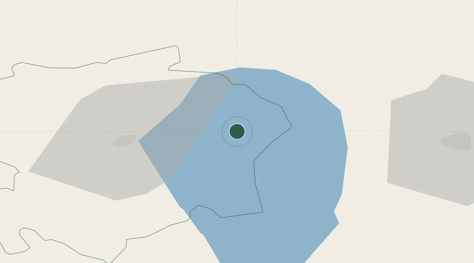
Location
Nearby Logistics Neighbours
Cities
- 1Tarvastu17 km
- 2Vergi23 km
- 3Vooru30 km
- 4Väike-Turu44 km
- 5Jõe Paadisadam44 km
Ports
- 1Parnu88 km
- 2Salacgriva123 km
- 3Kunda130 km
- 4Loksa133 km
- 5Muuga-Port of Tallin136 km
Airports
- 1Tartu Airport42 km
- 2Pärnu Airport88 km
- 3Lennart Meri Tallinn Airport131 km
- 4Tallinn Linnahall Heliport136 km
- 5Ämari Air Base140 km
Trade Zones
- 1Muuga Free Zone114 km
- 2Moglino Special Economic Zone - Industrial145 km
- 3Paldiski Free Zone151 km
- 4Port of Sillamäe151 km
- 5Free Port of Riga196 km
DatabookThe Record of Consolidated Knowledge
Estonia beyond logistics?