Transport Functions
Rail
Road
Hub Profile
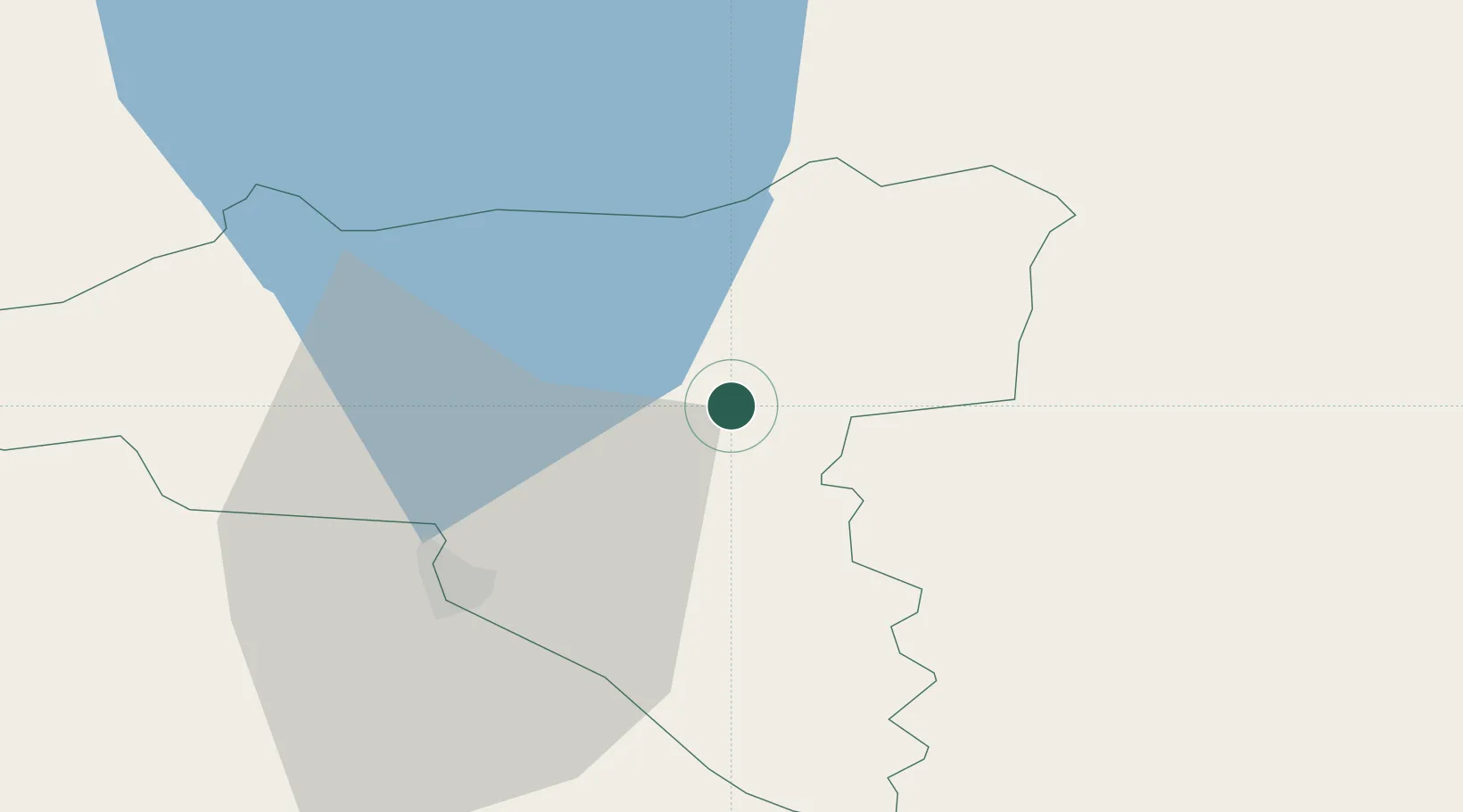
Place type
Populated place
Region
Valgamaa
Population
351
Time zone
Europe/Tallinn
Elevation
87 m
Location
Nearby Logistics Neighbours
Ports
- 1Parnu116 km
- 2Salacgriva117 km
- 3Riga172 km
- 4Kunda176 km
- 5Sillamae184 km
Airports
- 1Tartu Airport46 km
- 2Pärnu Airport118 km
- 3Princess Olga Pskov International Airport126 km
- 4Smuravyovo Air Base139 km
- 5Ostrov Naval Air Base147 km
Trade Zones
- 1Moglino Special Economic Zone - Industrial111 km
- 2Muuga Free Zone167 km
- 3Free Port of Riga171 km
- 4Port of Sillamäe184 km
- 5Latgale SEZ191 km
DatabookThe Record of Consolidated Knowledge
Estonia beyond logistics?