Transport Functions
Port
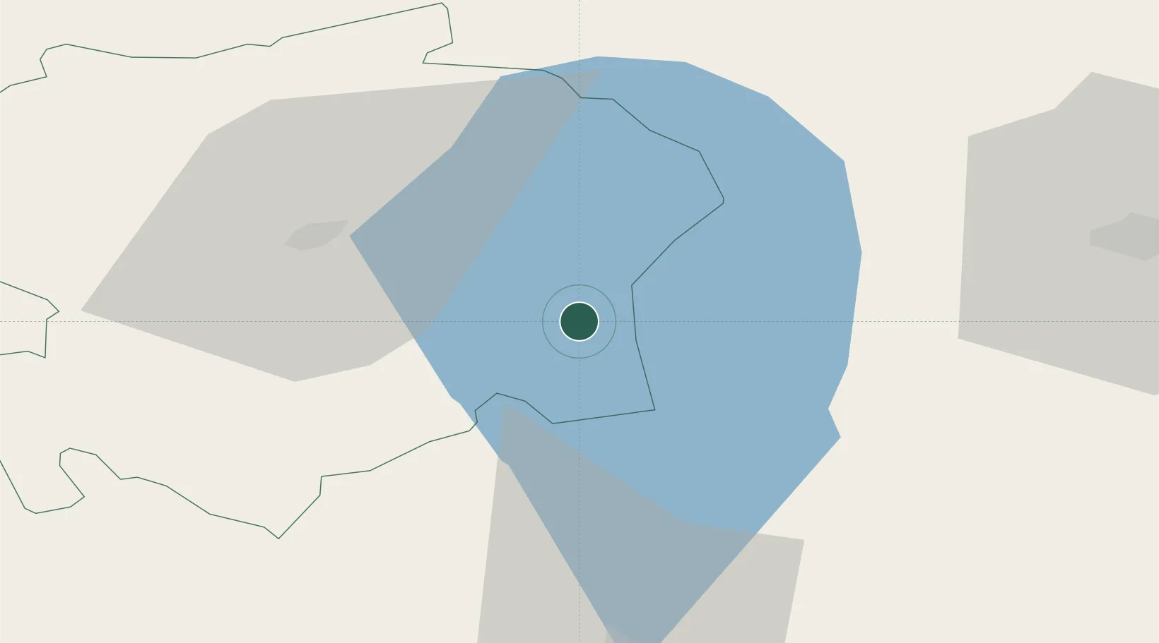
Hub Profile
Place type
Populated place
Region
Viljandimaa
Time zone
Europe/Tallinn
Elevation
52 m
Location
Nearby Logistics Neighbours
Ports
- 1Parnu88 km
- 2Salacgriva112 km
- 3Kunda146 km
- 4Virtsu148 km
- 5Loksa149 km
Airports
- 1Tartu Airport43 km
- 2Pärnu Airport89 km
- 3Lennart Meri Tallinn Airport145 km
- 4Tallinn Linnahall Heliport150 km
- 5Ämari Air Base151 km
Trade Zones
- 1Muuga Free Zone129 km
- 2Moglino Special Economic Zone - Industrial138 km
- 3Paldiski Free Zone163 km
- 4Port of Sillamäe165 km
- 5Free Port of Riga182 km
DatabookThe Record of Consolidated Knowledge
Estonia beyond logistics?