Transport Functions
Rail
Road
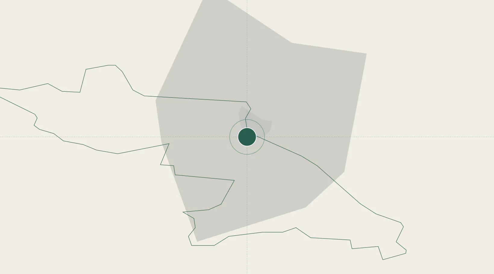
Hub Profile
Place type
Regional capital
Region
Valka
Population
4,615
Time zone
Europe/Riga
Elevation
53 m
Location
Nearby Logistics Neighbours
Ports
- 1Salacgriva98 km
- 2Parnu113 km
- 3Riga147 km
- 4Kunda198 km
- 5Vanasadam - Port of Tallinn201 km
Airports
- 1Tartu Airport72 km
- 2Pärnu Airport116 km
- 3Jēkabpils Air Base137 km
- 4Princess Olga Pskov International Airport141 km
- 5Ostrov Naval Air Base153 km
Trade Zones
- 1Moglino Special Economic Zone - Industrial125 km
- 2Free Port of Riga146 km
- 3Latgale SEZ178 km
- 4Rēzekne SEZ178 km
- 5Muuga Free Zone180 km
DatabookThe Record of Consolidated Knowledge
Latvia beyond logistics?