Transport Functions
Port
Hub Profile
Place type
Populated place
Region
Pärnumaa
Time zone
Europe/Tallinn
Elevation
9 m
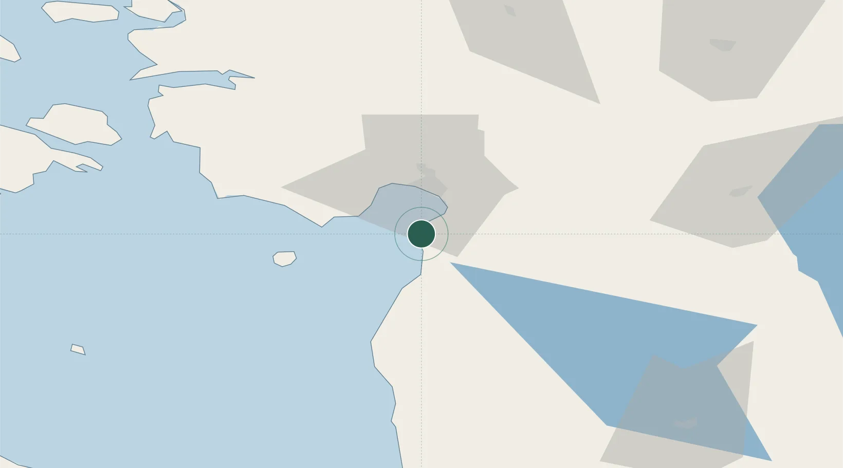
Location
Nearby Logistics Neighbours
Cities
- 1Rannametsa11 km
- 2Liu14 km
- 3Lindi17 km
- 4Kavaru18 km
- 5Japsi Kalasadam19 km
Ports
- 1Parnu19 km
- 2Salacgriva58 km
- 3Virtsu69 km
- 4Rohukula98 km
- 5Heltermaa110 km
Airports
- 1Pärnu Airport23 km
- 2Ruhnu Airfield86 km
- 3Kuressaare Airport115 km
- 4Ämari Air Base117 km
- 5Kärdla Airport128 km
Trade Zones
- 1Muuga Free Zone124 km
- 2Paldiski Free Zone126 km
- 3Free Port of Riga142 km
- 4Free port of Ventspils197 km
- 5Freeport of Hanko201 km
DatabookThe Record of Consolidated Knowledge
Estonia beyond logistics?