Transport Functions
Port
Hub Profile
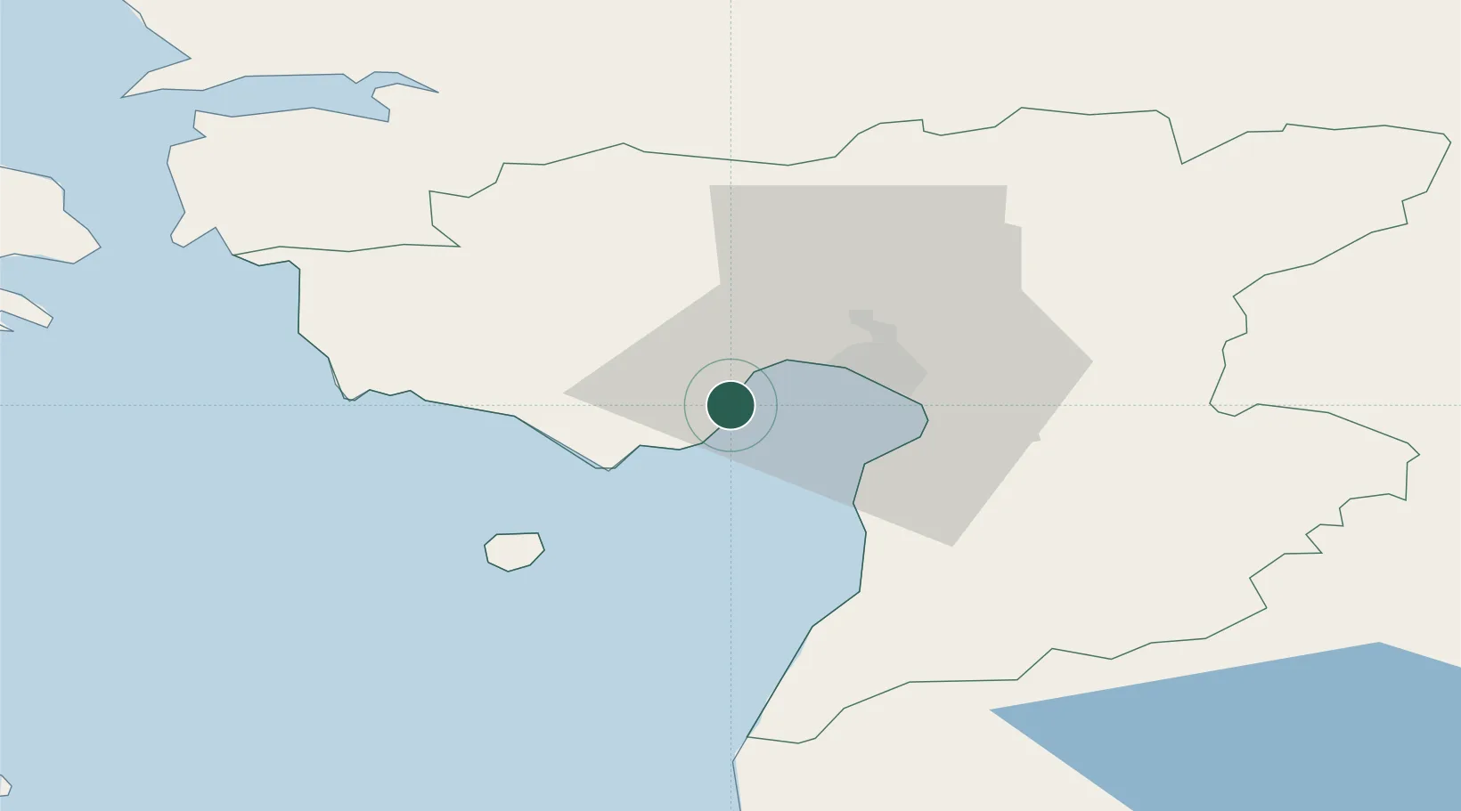
Place type
Populated place
Region
Pärnumaa
Population
264
Time zone
Europe/Tallinn
Elevation
6 m
Location
Nearby Logistics Neighbours
Cities
- 1Juheta6 km
- 2Liu6 km
- 3Kavaru10 km
- 4Peerni13 km
- 5Japsi Kalasadam13 km
Ports
- 1Parnu13 km
- 2Virtsu52 km
- 3Salacgriva71 km
- 4Rohukula81 km
- 5Heltermaa93 km
Airports
- 1Pärnu Airport15 km
- 2Ruhnu Airfield86 km
- 3Ämari Air Base103 km
- 4Kuressaare Airport104 km
- 5Kärdla Airport111 km
Trade Zones
- 1Paldiski Free Zone112 km
- 2Muuga Free Zone115 km
- 3Free Port of Riga153 km
- 4Freeport of Hanko185 km
- 5Free port of Ventspils193 km
DatabookThe Record of Consolidated Knowledge
Estonia beyond logistics?