UN/LOCODE hub · Estonia
EEVNJ

Varnja Sadam

58.4833°, 27.2500°
1
Transport functions

Transport Functions

Port
UN/LOCODE

Hub Profile

Region
79
GeoNames

Location

Location of EEVNJ
Natural Earth 10m (public domain) · 79 · EEVNJ · 58.48, 27.25GoogleOSMYandex

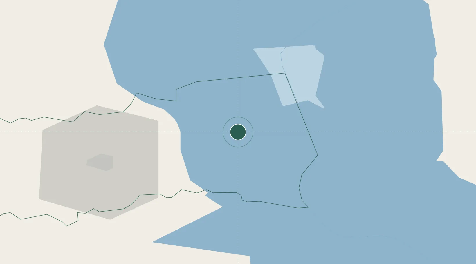
Nearby Logistics Neighbours

Cities
  1. 1Kolkja8 km
  2. 2Põdra11 km
  3. 3Alatskivi13 km
  4. 4Pusi18 km
  5. 5Piirissaare Sadam19 km
Nearest neighbours — logibook spatial index (haversine) over the source coordinates
Ports
  1. 1Sillamae109 km
  2. 2Kunda123 km
  3. 3Ust Luga145 km
  4. 4Loksa151 km
  5. 5Parnu162 km
Nearest neighbours — logibook spatial index (haversine) over the source coordinates
Airports
  1. 1Tartu Airport38 km
  2. 2Smuravyovo Air Base58 km
  3. 3Princess Olga Pskov International Airport103 km
  4. 4Ostrov Naval Air Base149 km
  5. 5Pärnu Airport162 km
Nearest neighbours — logibook spatial index (haversine) over the source coordinates
Trade Zones
  1. 1Moglino Special Economic Zone - Industrial95 km
  2. 2Port of Sillamäe108 km
  3. 3Muuga Free Zone157 km
  4. 4Paldiski Free Zone205 km
  5. 5St Petersburg Technology Innovative Special Economic Zone218 km
Nearest neighbours — logibook spatial index (haversine) over the source coordinates
DatabookThe Record of Consolidated Knowledge
Estonia beyond logistics?
Browse databook

All Sources

LocationsUN/LOCODE
UN/LOCODE — free
Portsthe NGA World Port Index
Public domain (US gov)
AirportsOurAirports
Public domain
Trade Zonesthe World Bank SEZ database
CC BY 4.0
Trade ZonesOpen Zone Map
CC BY
← Estonia locations