Transport Functions
Road
Multimodal
Hub Profile
Place type
Populated place
Region
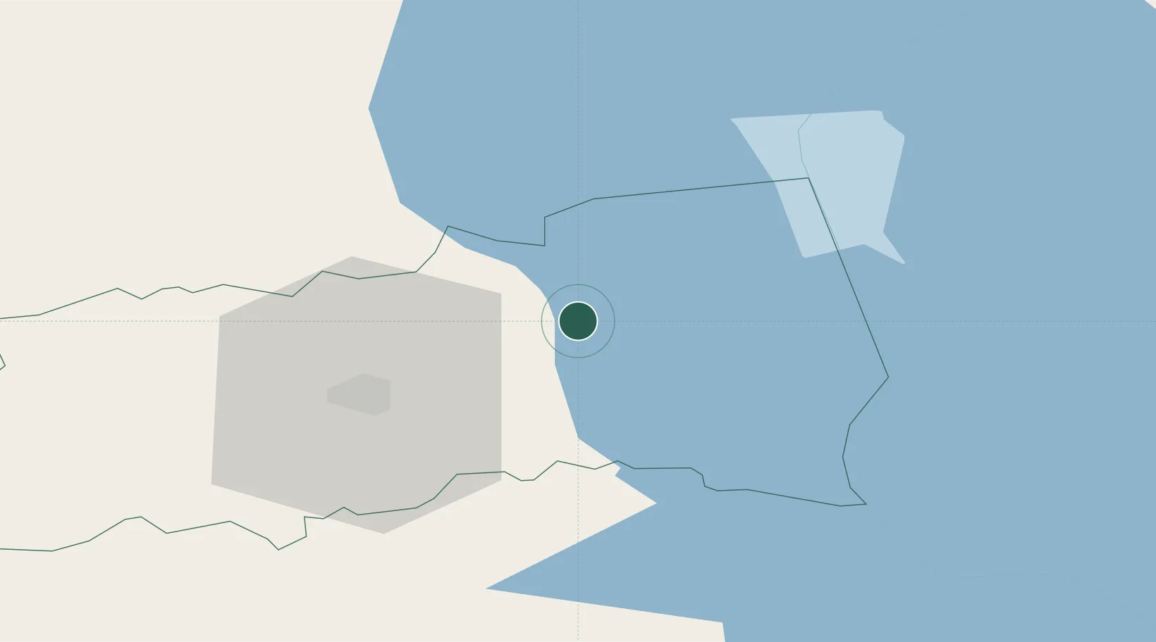
Tartu
Time zone
Europe/Tallinn
Elevation
50 m
Location
Nearby Logistics Neighbours
Cities
- 1Varnja Sadam11 km
- 2Kolkja11 km
- 3Alatskivi12 km
- 4Saaga Sadam12 km
- 5Ürgoru Paadisadam14 km
Airports
- 1Tartu Airport30 km
- 2Smuravyovo Air Base66 km
- 3Princess Olga Pskov International Airport110 km
- 4Pärnu Airport151 km
- 5Ostrov Naval Air Base154 km
Trade Zones
- 1Moglino Special Economic Zone - Industrial102 km
- 2Port of Sillamäe111 km
- 3Muuga Free Zone149 km
- 4Paldiski Free Zone196 km
- 5Port of Hamina-Kotka221 km
DatabookThe Record of Consolidated Knowledge
Estonia beyond logistics?