UN/LOCODE hub · Estonia
EEPRE

Piirissaare Sadam

58.3833°, 27.5167°
1
Transport functions

Transport Functions

Port
UN/LOCODE

Hub Profile

Region
79
GeoNames

Location

Location of EEPRE
Natural Earth 10m (public domain) · 79 · EEPRE · 58.38, 27.52GoogleOSMYandex

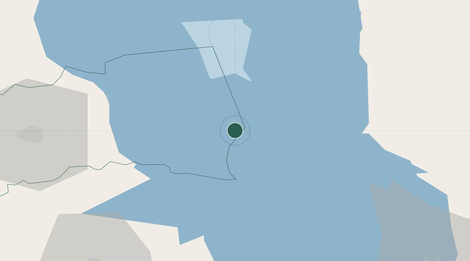
Nearby Logistics Neighbours

Cities
  1. 1Laaksaare8 km
  2. 2Mehikoorma Sadam17 km
  3. 3Varnja Sadam19 km
  4. 4Saarepera24 km
  5. 5Kolkja26 km
Nearest neighbours — logibook spatial index (haversine) over the source coordinates
Ports
  1. 1Sillamae117 km
  2. 2Kunda139 km
  3. 3Ust Luga150 km
  4. 4Loksa169 km
  5. 5Parnu177 km
Nearest neighbours — logibook spatial index (haversine) over the source coordinates
Airports
  1. 1Tartu Airport49 km
  2. 2Smuravyovo Air Base56 km
  3. 3Princess Olga Pskov International Airport85 km
  4. 4Ostrov Naval Air Base132 km
  5. 5Pärnu Airport177 km
Nearest neighbours — logibook spatial index (haversine) over the source coordinates
Trade Zones
  1. 1Moglino Special Economic Zone - Industrial78 km
  2. 2Port of Sillamäe116 km
  3. 3Muuga Free Zone176 km
  4. 4St Petersburg Technology Innovative Special Economic Zone216 km
  5. 5Paldiski Free Zone224 km
Nearest neighbours — logibook spatial index (haversine) over the source coordinates
DatabookThe Record of Consolidated Knowledge
Estonia beyond logistics?
Browse databook

All Sources

LocationsUN/LOCODE
UN/LOCODE — free
Portsthe NGA World Port Index
Public domain (US gov)
AirportsOurAirports
Public domain
Trade Zonesthe World Bank SEZ database
CC BY 4.0
Trade ZonesOpen Zone Map
CC BY
← Estonia locations