Transport Functions
Port
Hub Profile
Region
74
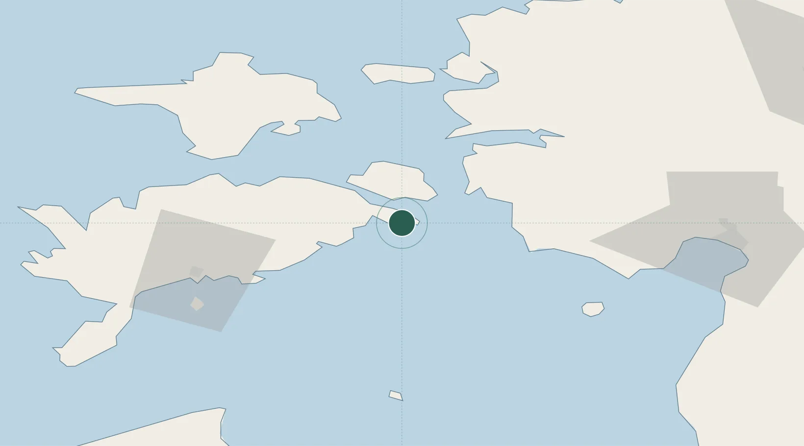
Location
Nearby Logistics Neighbours
Cities
- 1Lõpesuu4 km
- 2Pae Sadam4 km
- 3Valmeranna6 km
- 4Lõunaranna10 km
- 5Kuivastu15 km
Ports
- 1Virtsu20 km
- 2Heltermaa48 km
- 3Roomassaare52 km
- 4Rohukula52 km
- 5Saaremaa sadam61 km
Airports
- 1Kuressaare Airport51 km
- 2Kärdla Airport65 km
- 3Pärnu Airport70 km
- 4Ruhnu Airfield74 km
- 5Ämari Air Base105 km
Trade Zones
- 1Paldiski Free Zone109 km
- 2Muuga Free Zone137 km
- 3Freeport of Hanko155 km
- 4Free port of Ventspils156 km
- 5Free Port of Riga173 km
DatabookThe Record of Consolidated Knowledge
Estonia beyond logistics?