Transport Functions
Port
Hub Profile
Region
37
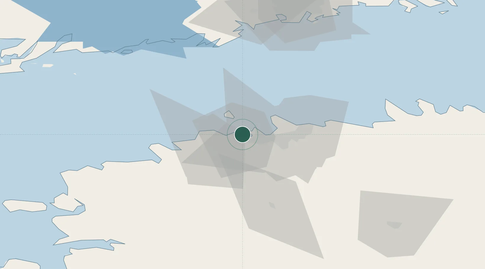
Location
Nearby Logistics Neighbours
Cities
- 1Bekkeri3 km
- 2Vene-Balti3 km
- 3Meeruse4 km
- 4Piirivalvesadam4 km
- 5Lahesuu6 km
Ports
- 1Vene-Balti3 km
- 2Bekkeri4 km
- 3Meeruse4 km
- 4Lahesuu6 km
- 5Paljassaare6 km
Airports
- 1Tallinn Linnahall Heliport9 km
- 2Lennart Meri Tallinn Airport14 km
- 3Ämari Air Base31 km
- 4Helsinki Vantaa Airport99 km
- 5Kärdla Airport113 km
Trade Zones
- 1Muuga Free Zone29 km
- 2Paldiski Free Zone32 km
- 3Freeport of Hanko105 km
- 4Port of Hamina-Kotka173 km
- 5Turku Free Zone173 km
DatabookThe Record of Consolidated Knowledge
Estonia beyond logistics?