Transport Functions
Rail
Road
Hub Profile
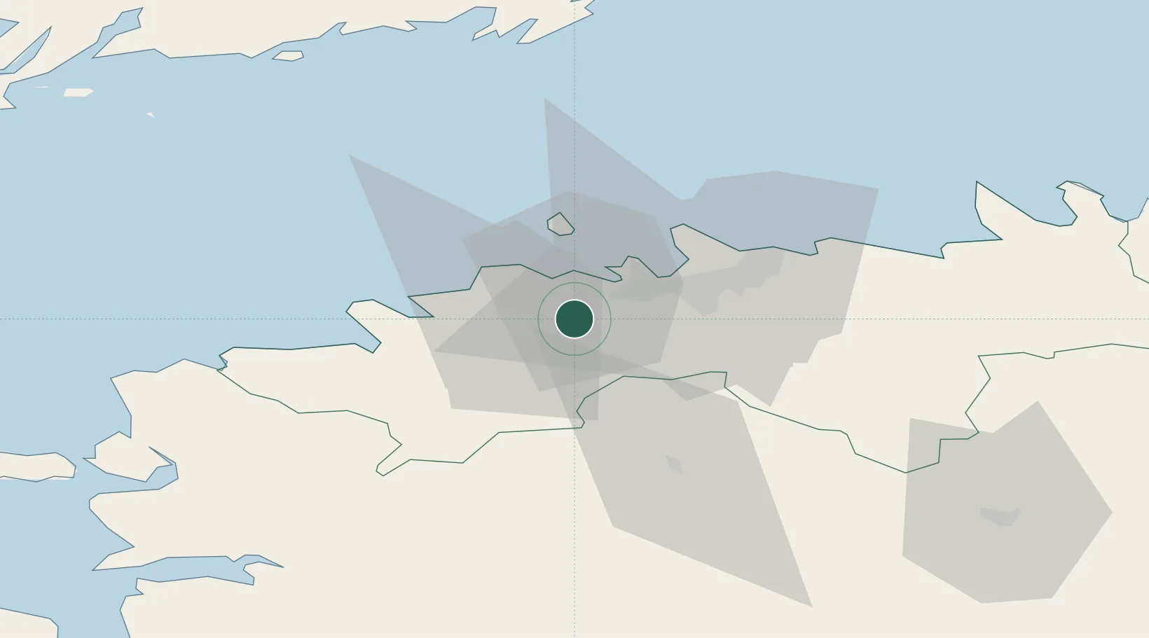
Place type
Populated place
Region
Harjumaa
Population
220
Time zone
Europe/Tallinn
Elevation
36 m
Location
Nearby Logistics Neighbours
Ports
- 1Meeruse13 km
- 2Vene-Balti13 km
- 3Bekkeri13 km
- 4Lahesuu15 km
- 5Paljassaare15 km
Airports
- 1Tallinn Linnahall Heliport16 km
- 2Lennart Meri Tallinn Airport18 km
- 3Ämari Air Base22 km
- 4Pärnu Airport104 km
- 5Kärdla Airport106 km
Trade Zones
- 1Muuga Free Zone27 km
- 2Paldiski Free Zone27 km
- 3Freeport of Hanko108 km
- 4Turku Free Zone178 km
- 5Port of Sillamäe180 km
DatabookThe Record of Consolidated Knowledge
Estonia beyond logistics?