UN/LOCODE hub · Estonia
EEKDR

Kudruküla Sadam

59.4500°, 29.0833°
1
Transport functions

Transport Functions

Port
UN/LOCODE

Hub Profile

Region
45
GeoNames

Location

Location of EEKDR
Natural Earth 10m (public domain) · 45 · EEKDR · 59.45, 29.08GoogleOSMYandex

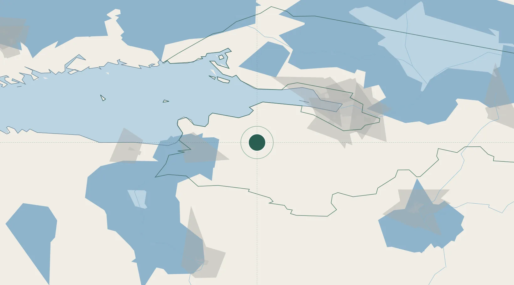
Nearby Logistics Neighbours

Cities
  1. 1Kingisepp28 km
  2. 2Ust'-Luga46 km
  3. 3Volosovo47 km
  4. 4Narva Linnasadam51 km
  5. 5Narva52 km
Nearest neighbours — logibook spatial index (haversine) over the source coordinates
Ports
  1. 1Ust Luga50 km
  2. 2Lomonosov65 km
  3. 3Kronshtadt71 km
  4. 4Sillamae76 km
  5. 5Primorsk105 km
Nearest neighbours — logibook spatial index (haversine) over the source coordinates
Airports
  1. 1Pushkin Airport75 km
  2. 2Pulkovo Airport77 km
  3. 3Smuravyovo Air Base93 km
  4. 4Levashovo Air Base94 km
  5. 5Pribylovo Naval Air Base114 km
Nearest neighbours — logibook spatial index (haversine) over the source coordinates
Trade Zones
  1. 1St Petersburg Technology Innovative Special Economic Zone68 km
  2. 2Port of Sillamäe77 km
  3. 3Port of Hamina-Kotka165 km
  4. 4Free Zone of Lappeenranta185 km
  5. 5Moglino Special Economic Zone - Industrial196 km
Nearest neighbours — logibook spatial index (haversine) over the source coordinates
DatabookThe Record of Consolidated Knowledge
Estonia beyond logistics?
Browse databook

All Sources

LocationsUN/LOCODE
UN/LOCODE — free
Portsthe NGA World Port Index
Public domain (US gov)
AirportsOurAirports
Public domain
Trade Zonesthe World Bank SEZ database
CC BY 4.0
Trade ZonesOpen Zone Map
CC BY
← Estonia locations