UN/LOCODE hub · Estonia
EELHS

Lahesuu

59.4500°, 24.7000°
3
Transport functions

Transport Functions

Port
Road
Border Crossing
Lahesuu is also a profiled seaport →
UN/LOCODE

Hub Profile

Region
37
GeoNames

Location

Location of EELHS
Natural Earth 10m (public domain) · 37 · EELHS · 59.45, 24.70GoogleOSMYandex

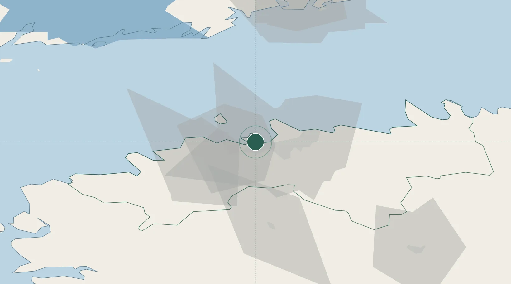
Nearby Logistics Neighbours

Cities
  1. 1Paljassaare0 km
  2. 2Lennusadam2 km
  3. 3Meeruse2 km
  4. 4Noblessneri2 km
  5. 5Piirivalvesadam2 km
Nearest neighbours — logibook spatial index (haversine) over the source coordinates
Ports
  1. 1Paljassaare1 km
  2. 2Meeruse2 km
  3. 3Bekkeri2 km
  4. 4Vene-Balti3 km
  5. 5Vanasadam - Port of Tallinn4 km
Nearest neighbours — logibook spatial index (haversine) over the source coordinates
Airports
  1. 1Tallinn Linnahall Heliport3 km
  2. 2Lennart Meri Tallinn Airport9 km
  3. 3Ämari Air Base35 km
  4. 4Helsinki Vantaa Airport98 km
  5. 5Pärnu Airport115 km
Nearest neighbours — logibook spatial index (haversine) over the source coordinates
Trade Zones
  1. 1Muuga Free Zone25 km
  2. 2Paldiski Free Zone38 km
  3. 3Freeport of Hanko110 km
  4. 4Port of Hamina-Kotka168 km
  5. 5Port of Sillamäe171 km
Nearest neighbours — logibook spatial index (haversine) over the source coordinates
DatabookThe Record of Consolidated Knowledge
Estonia beyond logistics?
Browse databook

All Sources

LocationsUN/LOCODE
UN/LOCODE — free
Portsthe NGA World Port Index
Public domain (US gov)
AirportsOurAirports
Public domain
Trade Zonesthe World Bank SEZ database
CC BY 4.0
Trade ZonesOpen Zone Map
CC BY
← Estonia locations