UN/LOCODE hub · Estonia
EEJHT

Juheta

58.3833°, 24.2833°
1
Transport functions

Transport Functions

Port
UN/LOCODE

Hub Profile

Region
68
GeoNames

Location

Location of EEJHT
Natural Earth 10m (public domain) · 68 · EEJHT · 58.38, 24.28GoogleOSMYandex

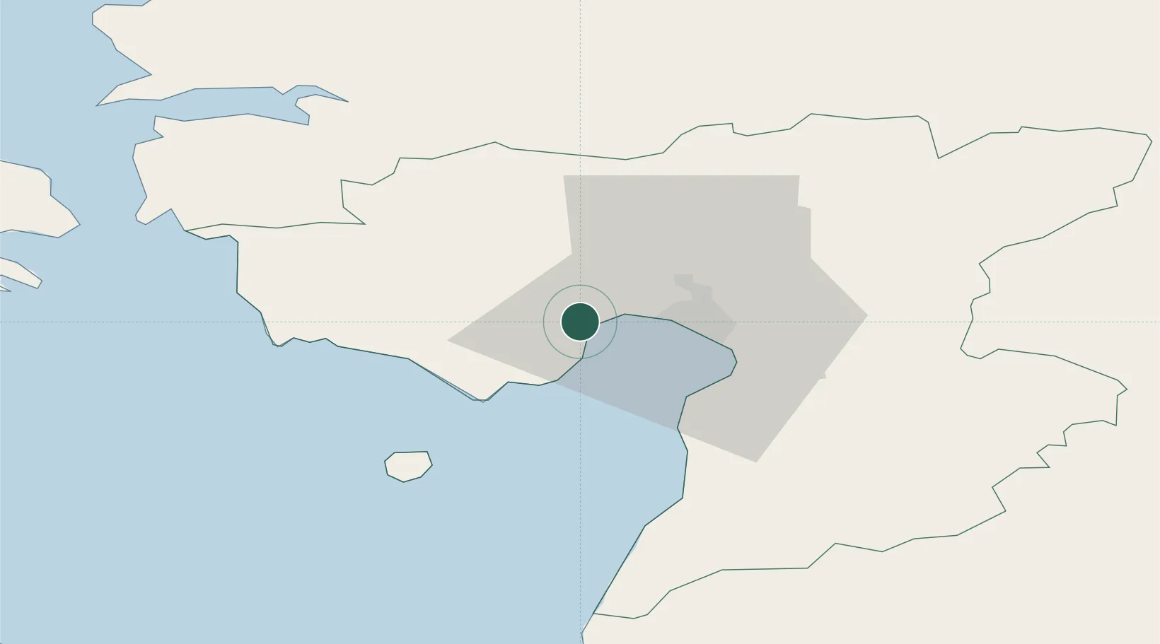
Nearby Logistics Neighbours

Cities
  1. 1Lindi6 km
  2. 2Liu11 km
  3. 3Japsi Kalasadam12 km
  4. 4Pärnu Sadama Väikesadam12 km
  5. 5Vana-Sauga Sadam12 km
Nearest neighbours — logibook spatial index (haversine) over the source coordinates
Ports
  1. 1Parnu12 km
  2. 2Virtsu50 km
  3. 3Salacgriva76 km
  4. 4Rohukula77 km
  5. 5Heltermaa89 km
Nearest neighbours — logibook spatial index (haversine) over the source coordinates
Airports
  1. 1Pärnu Airport12 km
  2. 2Ruhnu Airfield90 km
  3. 3Ämari Air Base98 km
  4. 4Kuressaare Airport105 km
  5. 5Kärdla Airport108 km
Nearest neighbours — logibook spatial index (haversine) over the source coordinates
Trade Zones
  1. 1Paldiski Free Zone106 km
  2. 2Muuga Free Zone110 km
  3. 3Free Port of Riga159 km
  4. 4Freeport of Hanko180 km
  5. 5Free port of Ventspils196 km
Nearest neighbours — logibook spatial index (haversine) over the source coordinates
DatabookThe Record of Consolidated Knowledge
Estonia beyond logistics?
Browse databook

All Sources

LocationsUN/LOCODE
UN/LOCODE — free
Portsthe NGA World Port Index
Public domain (US gov)
AirportsOurAirports
Public domain
Trade Zonesthe World Bank SEZ database
CC BY 4.0
Trade ZonesOpen Zone Map
CC BY
← Estonia locations