UN/LOCODE hub · Estonia
EEVSG

Vana-Sauga Sadam

58.3833°, 24.4833°
1
Transport functions

Transport Functions

Port
UN/LOCODE

Hub Profile

Region
68
GeoNames

Location

Location of EEVSG
Natural Earth 10m (public domain) · 68 · EEVSG · 58.38, 24.48GoogleOSMYandex

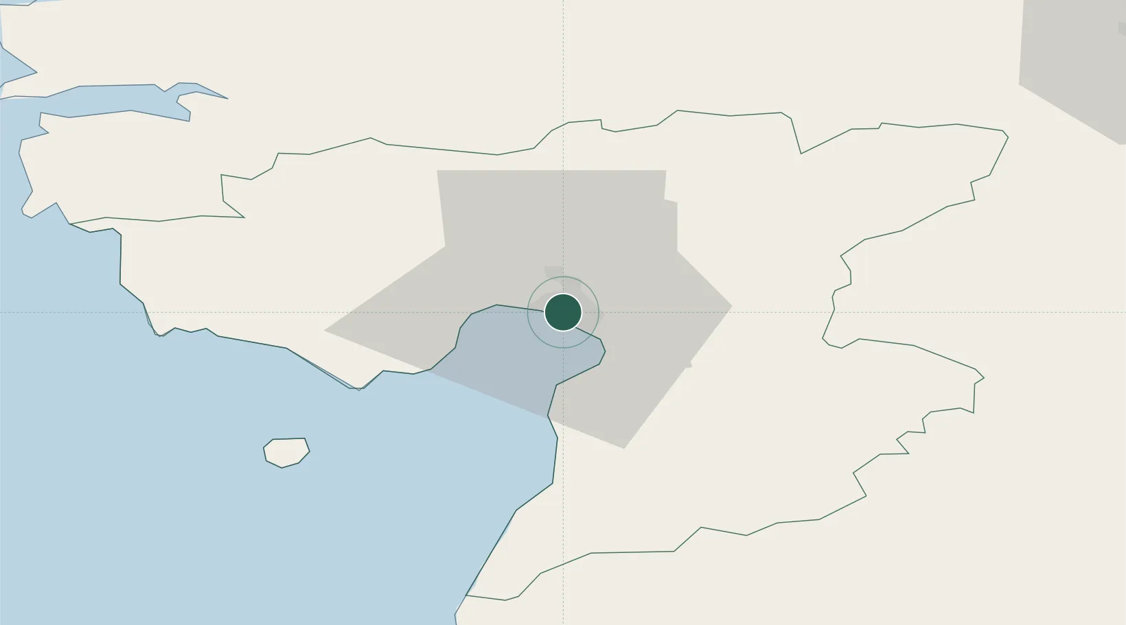
Nearby Logistics Neighbours

Cities
  1. 1Japsi Kalasadam0 km
  2. 2Pärnu Sadama Väikesadam0 km
  3. 3Pärnu1 km
  4. 4Talvesadam1 km
  5. 5Sindi11 km
Nearest neighbours — logibook spatial index (haversine) over the source coordinates
Ports
  1. 1Parnu0 km
  2. 2Virtsu61 km
  3. 3Salacgriva76 km
  4. 4Rohukula85 km
  5. 5Heltermaa99 km
Nearest neighbours — logibook spatial index (haversine) over the source coordinates
Airports
  1. 1Pärnu Airport4 km
  2. 2Ruhnu Airfield98 km
  3. 3Ämari Air Base99 km
  4. 4Lennart Meri Tallinn Airport116 km
  5. 5Kuressaare Airport117 km
Nearest neighbours — logibook spatial index (haversine) over the source coordinates
Trade Zones
  1. 1Muuga Free Zone106 km
  2. 2Paldiski Free Zone108 km
  3. 3Free Port of Riga160 km
  4. 4Freeport of Hanko185 km
  5. 5Free port of Ventspils206 km
Nearest neighbours — logibook spatial index (haversine) over the source coordinates
DatabookThe Record of Consolidated Knowledge
Estonia beyond logistics?
Browse databook

All Sources

LocationsUN/LOCODE
UN/LOCODE — free
Portsthe NGA World Port Index
Public domain (US gov)
AirportsOurAirports
Public domain
Trade Zonesthe World Bank SEZ database
CC BY 4.0
Trade ZonesOpen Zone Map
CC BY
← Estonia locations