Transport Functions
Multimodal
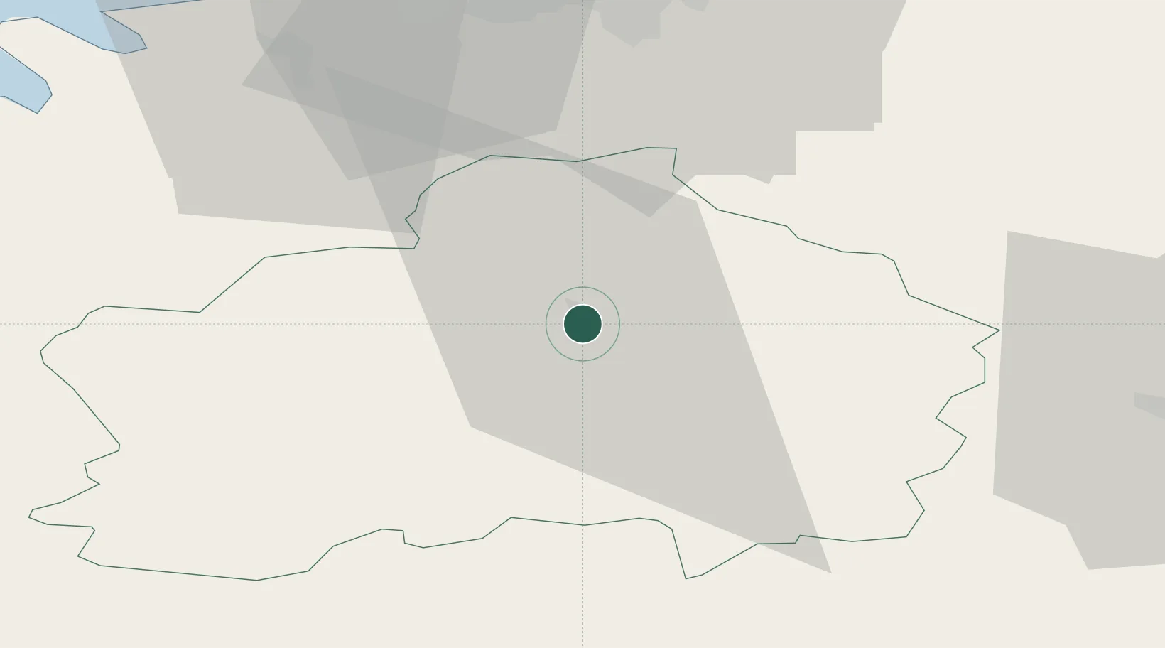
Hub Profile
Place type
Regional capital
Region
Raplamaa
Population
5,132
Time zone
Europe/Tallinn
Elevation
67 m
Location
Nearby Logistics Neighbours
Ports
- 1Vanasadam - Port of Tallinn50 km
- 2Meeruse51 km
- 3Bekkeri51 km
- 4Lahesuu51 km
- 5Paljassaare51 km
Airports
- 1Ämari Air Base44 km
- 2Lennart Meri Tallinn Airport46 km
- 3Tallinn Linnahall Heliport50 km
- 4Pärnu Airport67 km
- 5Kärdla Airport112 km
Trade Zones
- 1Muuga Free Zone35 km
- 2Paldiski Free Zone55 km
- 3Freeport of Hanko142 km
- 4Port of Sillamäe174 km
- 5Port of Hamina-Kotka203 km
DatabookThe Record of Consolidated Knowledge
Estonia beyond logistics?