UN/LOCODE hub · Estonia
EEURG

Ürgoru Paadisadam

58.3667°, 26.9833°
1
Transport functions

Transport Functions

Port
UN/LOCODE

Hub Profile

Region
79
GeoNames

Location

Location of EEURG
Natural Earth 10m (public domain) · 79 · EEURG · 58.37, 26.98GoogleOSMYandex

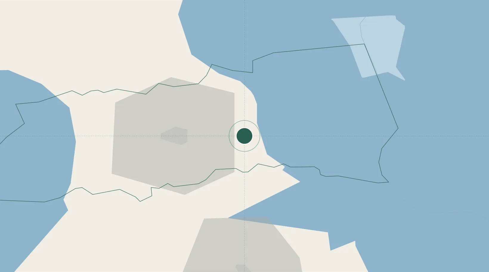
Nearby Logistics Neighbours

Cities
  1. 1Saaga Sadam2 km
  2. 2Karlova Paadisadam14 km
  3. 3Rebase Paadisadam14 km
  4. 4Põdra14 km
  5. 5Jõe Paadisadam15 km
Nearest neighbours — logibook spatial index (haversine) over the source coordinates
Ports
  1. 1Sillamae126 km
  2. 2Kunda132 km
  3. 3Parnu146 km
  4. 4Loksa154 km
  5. 5Ust Luga164 km
Nearest neighbours — logibook spatial index (haversine) over the source coordinates
Airports
  1. 1Tartu Airport19 km
  2. 2Smuravyovo Air Base78 km
  3. 3Princess Olga Pskov International Airport105 km
  4. 4Ostrov Naval Air Base146 km
  5. 5Pärnu Airport146 km
Nearest neighbours — logibook spatial index (haversine) over the source coordinates
Trade Zones
  1. 1Moglino Special Economic Zone - Industrial95 km
  2. 2Port of Sillamäe125 km
  3. 3Muuga Free Zone154 km
  4. 4Paldiski Free Zone199 km
  5. 5Latgale SEZ230 km
Nearest neighbours — logibook spatial index (haversine) over the source coordinates
DatabookThe Record of Consolidated Knowledge
Estonia beyond logistics?
Browse databook

All Sources

LocationsUN/LOCODE
UN/LOCODE — free
Portsthe NGA World Port Index
Public domain (US gov)
AirportsOurAirports
Public domain
Trade Zonesthe World Bank SEZ database
CC BY 4.0
Trade ZonesOpen Zone Map
CC BY
← Estonia locations