Transport Functions
Multimodal
Hub Profile
Place type
Populated place
Region
Blida
Population
92,749
Time zone
Africa/Algiers
Elevation
136 m
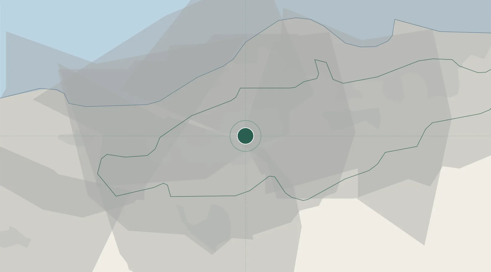
Location
Nearby Logistics Neighbours
Cities
- 1Blida6 km
- 2Chiffa13 km
- 3Hydra30 km
- 4Kouba31 km
- 5El Mouradia32 km
Ports
- 1Alger34 km
- 2Dellys105 km
- 3Tenes137 km
- 4Bejaia201 km
- 5Mostaganem257 km
Airports
- 1Blida Airport4 km
- 2Boufarik Air Base4 km
- 3Houari Boumediene Airport38 km
- 4Chlef Aboubakr Belkaid International Airport139 km
- 5Bou Saada Airport180 km
Trade Zones
- 1Depósito Franco de Alicante358 km
- 2Depósito Franco de Valencia428 km
- 3Berkane Agro-Pole499 km
- 4Depósito Franco de Tarragona530 km
- 5Melilla Autonomous Community539 km
DatabookThe Record of Consolidated Knowledge
Algeria beyond logistics?