Transport Functions
Multimodal
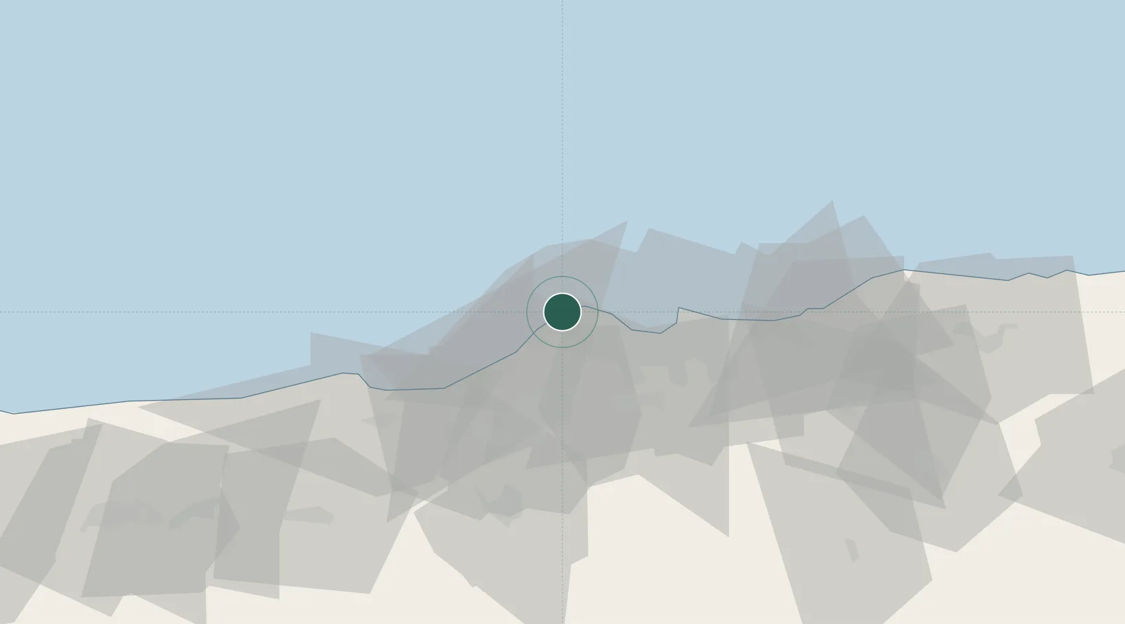
Hub Profile
Place type
Populated place
Region
Algiers
Population
31,102
Time zone
Africa/Algiers
Elevation
30 m
Location
Nearby Logistics Neighbours
Cities
- 1Hydra11 km
- 2El Mouradia13 km
- 3Kouba18 km
- 4Alger (Algiers)25 km
- 5El Hamiz29 km
Airports
- 1Boufarik Air Base29 km
- 2Houari Boumediene Airport29 km
- 3Blida Airport34 km
- 4Chlef Aboubakr Belkaid International Airport155 km
- 5Soummam–Abane Ramdane Airport192 km
Trade Zones
- 1Depósito Franco de Alicante345 km
- 2Depósito Franco de Valencia408 km
- 3Depósito Franco de Tarragona501 km
- 4Zona Franca de Barcelona509 km
- 5Berkane Agro-Pole515 km
DatabookThe Record of Consolidated Knowledge
Algeria beyond logistics?