UN/LOCODE hub · Denmark
DKVK7

Veksø

55.7500°, 12.2500°
2
Transport functions

Transport Functions

Port
Road
UN/LOCODE

Hub Profile

Region
84
GeoNames

Location

Location of DKVK7
Natural Earth 10m (public domain) · 84 · DKVK7 · 55.75, 12.25GoogleOSMYandex

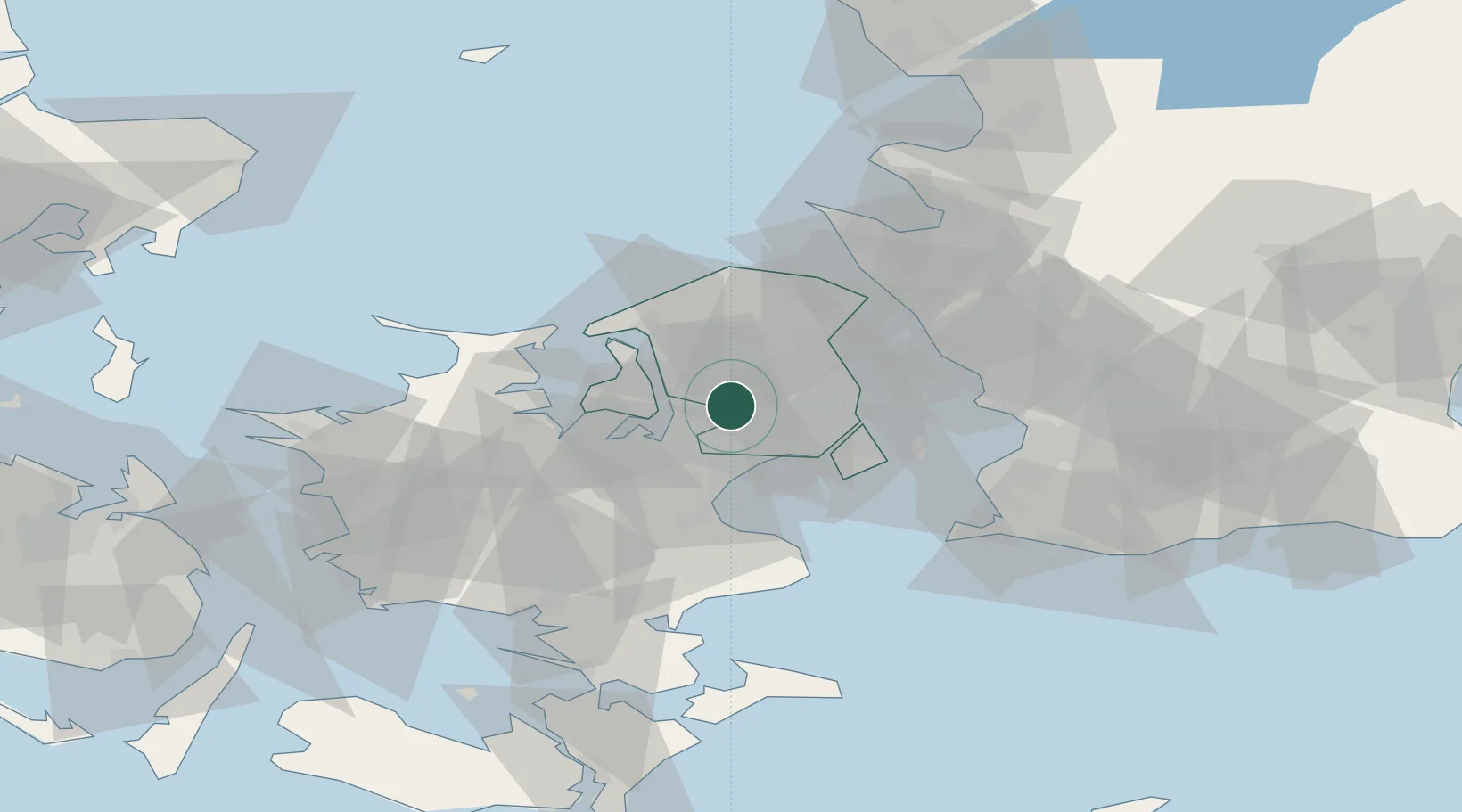
Nearby Logistics Neighbours

Cities
  1. 1Målov5 km
  2. 2Ølstykke8 km
  3. 3Skovlunde10 km
  4. 4Høje Tåstrup11 km
  5. 5Vallensbæk14 km
Nearest neighbours — logibook spatial index (haversine) over the source coordinates
Ports
  1. 1Frederikssund16 km
  2. 2Tuborg21 km
  3. 3Kobenhavn24 km
  4. 4Kyndbyvaerkets24 km
  5. 5Frederiksvaerk28 km
Nearest neighbours — logibook spatial index (haversine) over the source coordinates
Airports
  1. 1Copenhagen Roskilde Airport20 km
  2. 2København Vandflyveplads23 km
  3. 3Copenhagen Kastrup Airport29 km
  4. 4Ringsted Airfield46 km
  5. 5Ljungbyhed Airfield71 km
Nearest neighbours — logibook spatial index (haversine) over the source coordinates
Trade Zones
  1. 1Freeport of Copenhagen- Nordhavn22 km
  2. 2MTS Malmö Transport and Spedition55 km
  3. 3Freeport of Kiel206 km
  4. 4Gothenburg Boundless Customs Warehouse219 km
  5. 5Swinoujscie Duty Free Zone243 km
Nearest neighbours — logibook spatial index (haversine) over the source coordinates
DatabookThe Record of Consolidated Knowledge
Denmark beyond logistics?
Browse databook

All Sources

LocationsUN/LOCODE
UN/LOCODE — free
Portsthe NGA World Port Index
Public domain (US gov)
AirportsOurAirports
Public domain
Trade Zonesthe World Bank SEZ database
CC BY 4.0
Trade ZonesOpen Zone Map
CC BY
← Denmark locations