Transport Functions
Port
Rail
Road
Hub Profile
Region
84
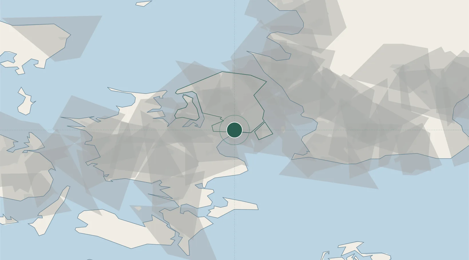
Location
Nearby Logistics Neighbours
Cities
- 1Høje Tåstrup5 km
- 2København7 km
- 3Skovlunde10 km
- 4Rødovre10 km
- 5Vanløse10 km
Ports
- 1Tuborg17 km
- 2Kobenhavn18 km
- 3Koge23 km
- 4Frederikssund29 km
- 5Kyndbyvaerkets36 km
Airports
- 1Copenhagen Roskilde Airport15 km
- 2København Vandflyveplads17 km
- 3Copenhagen Kastrup Airport19 km
- 4Ringsted Airfield41 km
- 5Malmö Sturup Airport65 km
Trade Zones
DatabookThe Record of Consolidated Knowledge
Denmark beyond logistics?