Transport Functions
Rail
Road
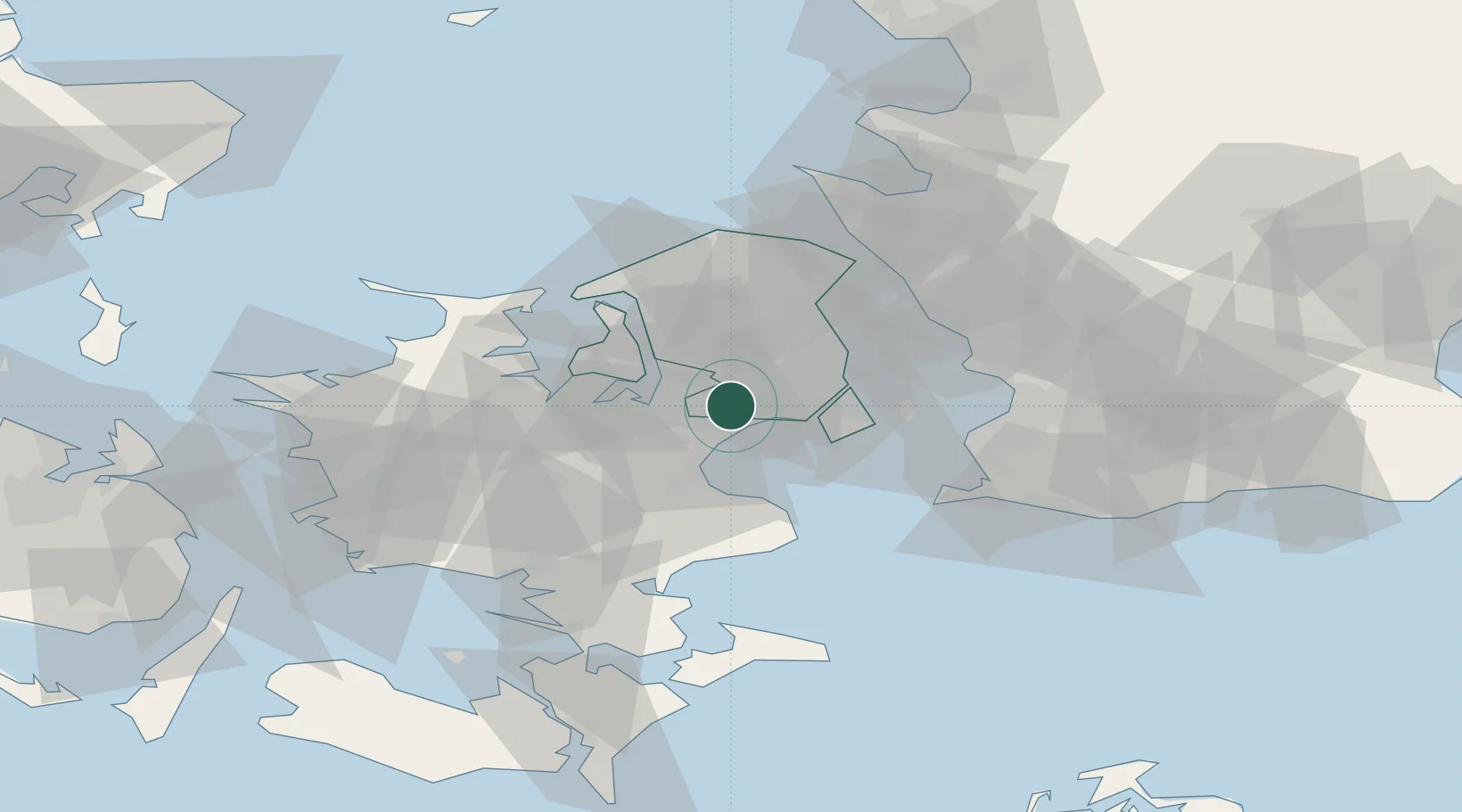
Location
Nearby Logistics Neighbours
Cities
- 1Vallensbæk5 km
- 2Tune8 km
- 3København10 km
- 4Karlslunde10 km
- 5Skovlunde10 km
Ports
- 1Tuborg20 km
- 2Kobenhavn22 km
- 3Koge23 km
- 4Frederikssund25 km
- 5Kyndbyvaerkets31 km
Airports
- 1Copenhagen Roskilde Airport12 km
- 2København Vandflyveplads20 km
- 3Copenhagen Kastrup Airport24 km
- 4Ringsted Airfield39 km
- 5Malmö Sturup Airport70 km
Trade Zones
DatabookThe Record of Consolidated Knowledge
Denmark beyond logistics?